 Old Cumbria Gazetteer
 |
 |
|
| Howe Grain, Martindale | ||
| Howe Grain | ||
| locality:- | Martindale | |
| civil parish:- | Martindale (formerly Westmorland) | |
| county:- | Cumbria | |
| locality type:- | valley | |
| coordinates:- | NY43581775 (etc etc) | |
| 1Km square:- | NY4317 | |
| 10Km square:- | NY41 | |
|
|
||
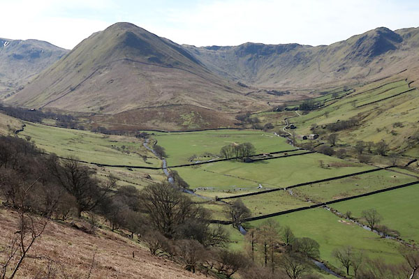
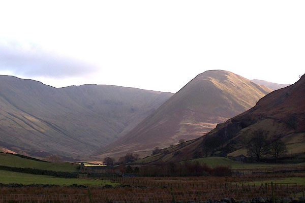 BLO99.jpg Looking south from St Martin's, Martindale. (taken 25.1.2006) 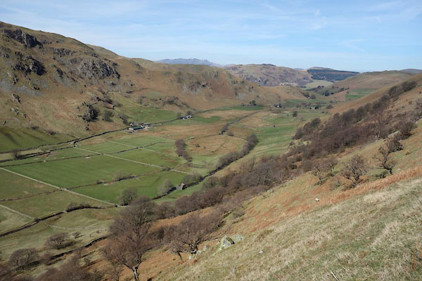 CCU87.jpg (taken 8.4.2015) |
||
|
|
||
| evidence:- | old map:- OS County Series (Wmd 12 8) placename:- How Grane |
|
| source data:- | Maps, County Series maps of Great Britain, scales 6 and 25
inches to 1 mile, published by the Ordnance Survey, Southampton,
Hampshire, from about 1863 to 1948. |
|
|
|
||
| evidence:- | hearth tax returns:- Hearth Tax 1675 placename:- How-graine |
|
| source data:- | Records, hearth tax survey returns, Westmorland, 1674/75. "How-graine" in "Martindale" |
|
|
|
||
 CCU89.jpg (taken 8.4.2015) |
||
|
|
||
 Lakes Guides menu.