 Old Cumbria Gazetteer
 |
 |
|
| Howe Grain | ||
| civil parish:- | Martindale (formerly Westmorland) | |
| county:- | Cumbria | |
| locality type:- | river | |
| 1Km square:- | NY4318 (etc) | |
| 10Km square:- | NY41 | |
|
|
||
| evidence:- | old map:- Cary 1789 (edn 1805) |
|
| source data:- | Map, uncoloured engraving, Westmoreland, scale about 2.5 miles
to 1 inch, by John Cary, London, 1789; edition 1805.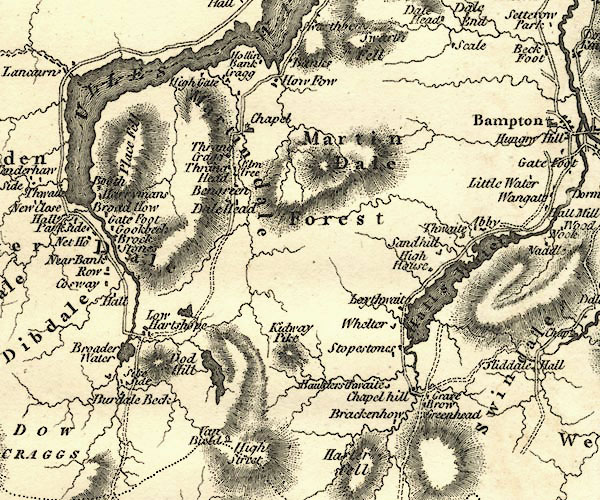 CY24NY41.jpg river running into Ullswater item:- JandMN : 129 Image © see bottom of page |
|
|
|
||
 Lakes Guides menu.