

placename:- Horneby
 goto source
Page 123:- "... [horse fairs] ..."
"Thence to Horneby, Seat renowned,"
"'Thus with Gain are Worldlings drowned;"
"Secret-sacred Thirst of Treasure"
"Makes my Bullocks my best Pleasure:"
"Should Love wooe me, I'd not have her,"
"'It is Gain yields sweetest favour."
 goto source
Addendum; Mr Gray's Journal, 1769
Page 218:- "..."
"... I came to Hornby, a little town on the river Wenning, over which a handsome bridge is now built; the castle, in a lordly situation, attracted me, so I walked up the hill to it; ..."
 goto source
Tour to the Caves in the West Riding of Yorkshire, late 18th century
Page 242:- "..."
"... The vale of Lonsdale ... presented us in succession with the different seats and villages that adorn it: ...; Tunstal, Melling, Hornby and its castle, to the south; ..."
 goto source
Page 174:- "HORNBY - 'unquestionably the Manse of Horne, a Saxon name,' - is a neat little town watered by the river Wenning, and situated near the confluence of that river with the Lune. ..."
"The Church was begun by Edward, Lord Mounteagle, in consequence, as tradition reports, of a vow made on Flodden Field. The octagon tower alone, which retains his arms, encircled with the Garter, was finished by himself. It bears the following inscription:"
"E. Stanley: miles : dux : Mounteagle : me : fieri : fecit."
"The choir was completed by his executors in an inferior manner. In the Churchyard remains the tall base of a very singular and ancient cross, a ponderous block of freestone."
"To the west of the Church is a small Catholic Chapel, the officiating priest of which is Dr. Lingard, the celebrated historian, who lives, as he has lived respected for nearly forty years, in the residence adjoining."
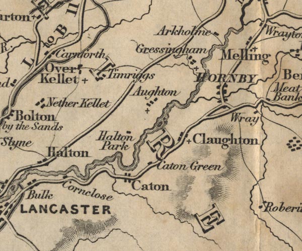
placename:- Hornby

FD02SD56.jpg
"HORNBY"
item:- JandMN : 100.1
Image © see bottom of page
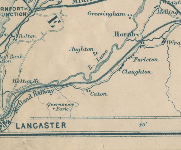
placename:- Hornby

GAR2SD56.jpg
"Hornby"
blocks, settlement
item:- JandMN : 82.1
Image © see bottom of page
