 Old Cumbria Gazetteer
 |
 |
|
| Hopegill Head, Buttermere | ||
| Hopegill Head | ||
| civil parish:- | Buttermere (formerly Cumberland) | |
| civil parish:- | Lorton (formerly Cumberland) | |
| county:- | Cumbria | |
| locality type:- | hill | |
| coordinates:- | NY18562217 | |
| 1Km square:- | NY1822 | |
| 10Km square:- | NY12 | |
| altitude:- | 2525 feet | |
| altitude:- | 770m | |
|
|
||
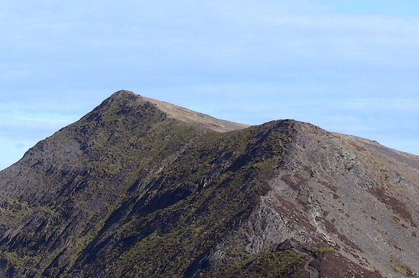 BNK99.jpg (taken 24.3.2007) 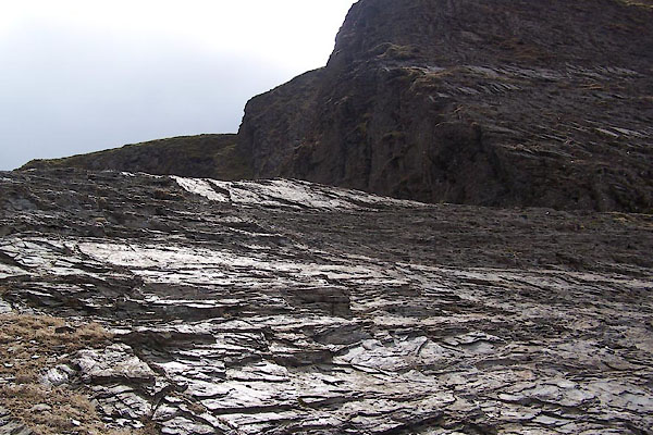 BWD12.jpg (taken 19.3.2012) |
||
|
|
||
| evidence:- | old map:- OS County Series (Cmd 63 7) placename:- Hopegill Head |
|
| source data:- | Maps, County Series maps of Great Britain, scales 6 and 25
inches to 1 mile, published by the Ordnance Survey, Southampton,
Hampshire, from about 1863 to 1948. |
|
|
|
||
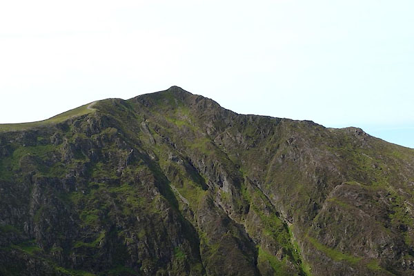 CDR95.jpg Above Hobcarton Crags. (taken 17.8.2015) 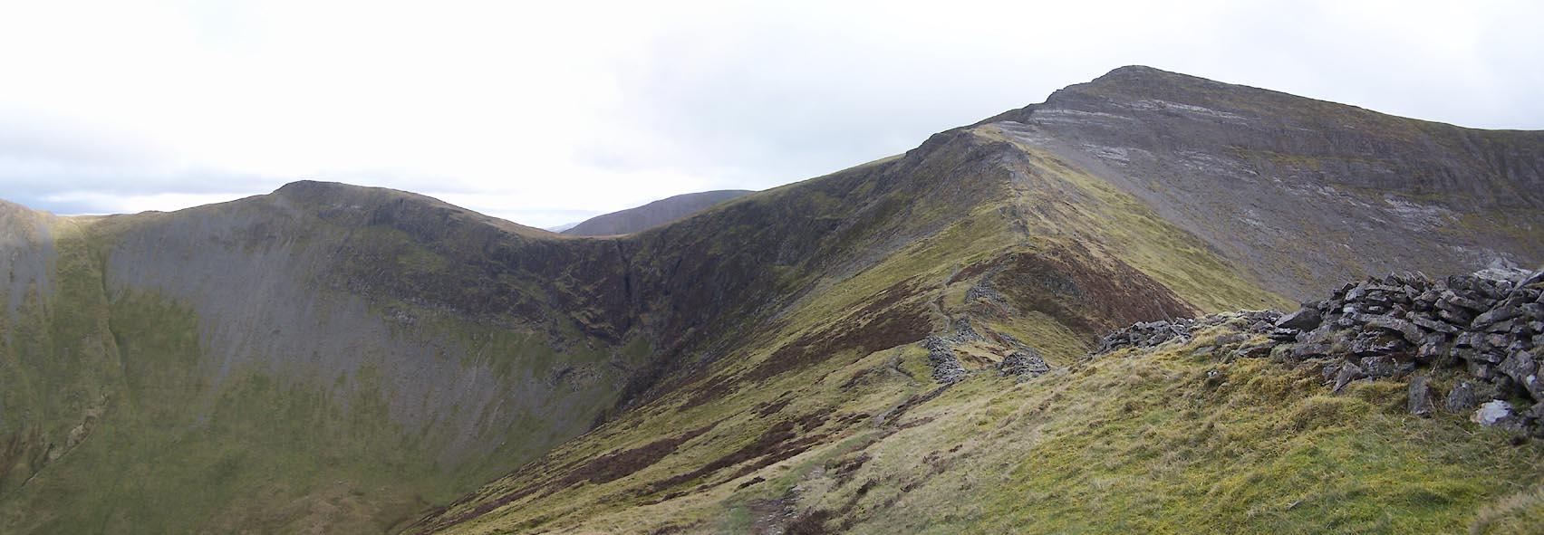 Click to enlarge BWD13.jpg (taken 19.3.2012) |
||
|
|
||
 Lakes Guides menu.