 Old Cumbria Gazetteer
 |
 |
|
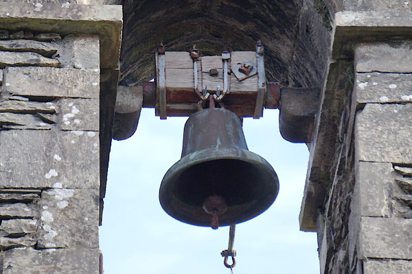
| Holy Trinity, Winster | ||
| Holy Trinity Church | ||
| Winster Church | ||
| locality:- | Winster | |
| civil parish:- | Crook (formerly Westmorland) | |
| county:- | Cumbria | |
| locality type:- | church | |
| coordinates:- | SD41759302 | |
| 1Km square:- | SD4193 | |
| 10Km square:- | SD49 | |
| references:- | : 2005: Diocese of Carlisle, Directory 2004/5 |
|
|
|
||
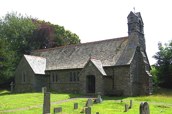 BJQ32.jpg (taken 16.7.2005) 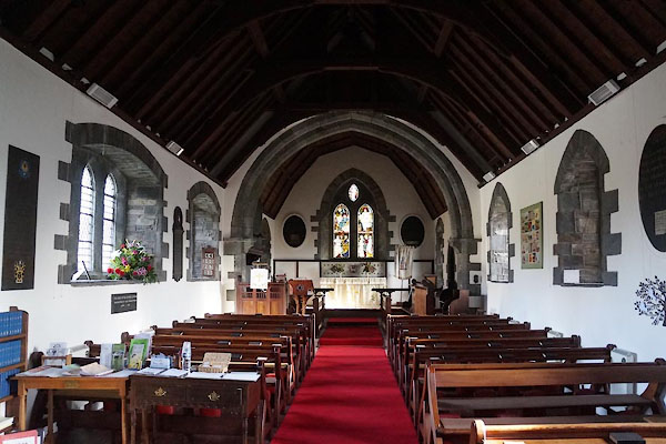 CCH60.jpg (taken 4.2.2015) |
||
|
|
||
| evidence:- | old map:- OS County Series (Wmd 37 8) |
|
| source data:- | Maps, County Series maps of Great Britain, scales 6 and 25
inches to 1 mile, published by the Ordnance Survey, Southampton,
Hampshire, from about 1863 to 1948. "Church (Per Curacy)" |
|
|
|
||
| evidence:- | old map:- Jansson 1646 placename:- Wynster Chappell |
|
| source data:- | Map, hand coloured engraving, Cumbria and Westmoria, ie
Cumberland and Westmorland, scale about 3.5 miles to 1 inch, by
John Jansson, Amsterdam, Netherlands, 1646.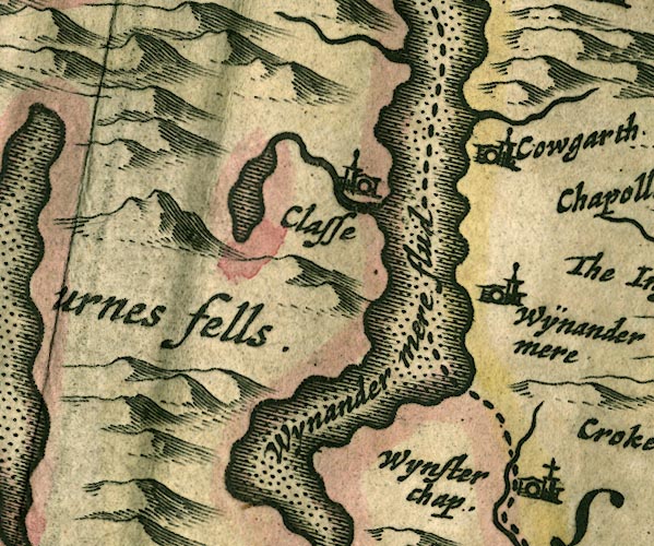 JAN3SD39.jpg "Wynster chap." Building and tower with cross. item:- JandMN : 88 Image © see bottom of page |
|
|
|
||
| evidence:- | probably old map:- Bowen and Kitchin 1760 placename:- Winster Chapel |
|
| source data:- | Map, hand coloured engraving, A New Map of the Counties of
Cumberland and Westmoreland Divided into their Respective Wards,
scale about 4 miles to 1 inch, by Emanuel Bowen and Thomas
Kitchin et al, published by T Bowles, Robert Sayer, and John
Bowles, London, 1760.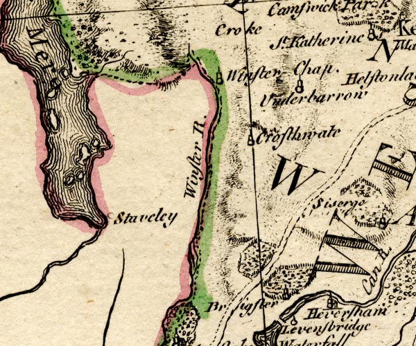 BO18SD38.jpg "Winster Chap." circle, tower item:- Armitt Library : 2008.14.10 Image © see bottom of page |
|
|
|
||
| evidence:- | old map:- Jefferys 1770 (Wmd) |
|
| source data:- | Map, 4 sheets, The County of Westmoreland, scale 1 inch to 1
mile, surveyed 1768, and engraved and published by Thomas
Jefferys, London, 1770.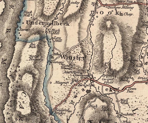 J5SD49SW.jpg church item:- National Library of Scotland : EME.s.47 Image © National Library of Scotland |
|
|
|
||
| evidence:- | old map:- Garnett 1850s-60s H |
|
| source data:- | Map of the English Lakes, in Cumberland, Westmorland and
Lancashire, scale about 3.5 miles to 1 inch, published by John
Garnett, Windermere, Westmorland, 1850s-60s.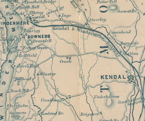 GAR2SD49.jpg cross, a church item:- JandMN : 82.1 Image © see bottom of page |
|
|
|
||
| evidence:- | old map:- Nurse 1918 |
|
| source data:- | Map, The Diocese of Carlisle, Cumberland, Westmorland, and
Lancashire North of the Sands, scale about 4 miles to 1 inch, by
Rev Euston J Nurse, published by Charles Thurnam and Sons, 11
English Street, Carlisle, Cumberland, 2nd edn 1939.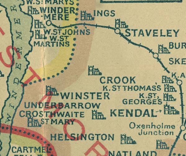 NUR1SD49.jpg "WINSTER" item:- JandMN : 27 Image © see bottom of page |
|
|
|
||
 stained glass stained glass |
||
|
|
||
 CCH59.jpg (taken 4.2.2015) |
||
|
|
||
| sentences from scripture |
||
|
|
||
| sundial |
||
|
|
||
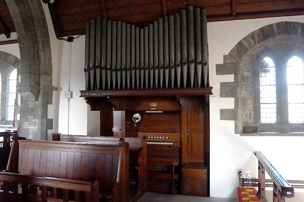 CCH64.jpg Organ, by Jardine and Co, Manchester. (taken 4.2.2015) 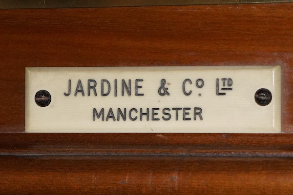 CCH65.jpg "JARDINE &CO. LTD. / MANCHESTER" (taken 4.2.2015) 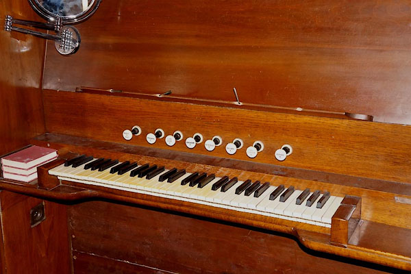 CCH66.jpg (taken 4.2.2015) 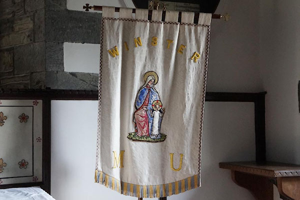 CCH63.jpg Mothers Union banner. (taken 4.2.2015)  BNC33.jpg Coat of arms, Captain William Higgin-Birket, wounded and missing, World War I, 1914. (taken 15.12.2006) 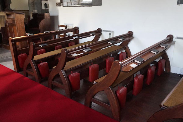 CCH67.jpg Pews. (taken 4.2.2015)  CCH68.jpg Notice. (taken 4.2.2015)  CCH69.jpg Notice. (taken 4.2.2015) 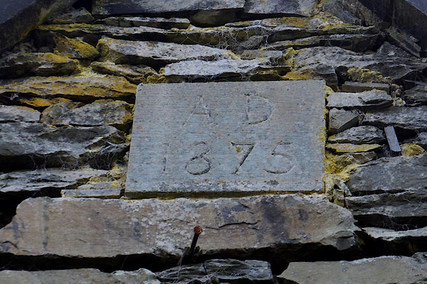 CCH58.jpg Date:- "A D / 1875" (taken 4.2.2015) 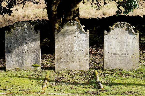 CCH75.jpg Gravestones. (taken 4.2.2015) 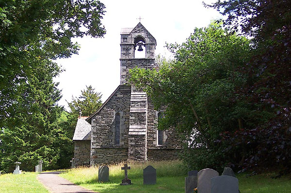 BJQ33.jpg (taken 16.7.2005) |
||
|
|
||
| dedication | ||
| person:- | : Holy Trinity |
|
| place:- | Winster / Carlisle Diocese | |
|
|
||
 Lakes Guides menu.