button to main menu  Old Cumbria Gazetteer
Holmescales
civil parish:-   Old Hutton and Holmescales (formerly Westmorland)
county:-   Cumbria
locality type:-   locality
locality type:-   buildings
coordinates:-   SD55608734 (etc) 
1Km square:-   SD5587
10Km square:-   SD58

evidence:-   old map:- Jefferys 1770 (Wmd) 
placename:-  Holm Scales
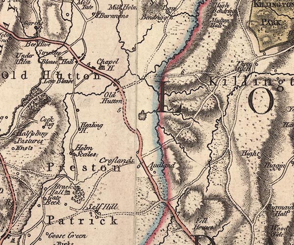
source data:-   Map, 4 sheets, The County of Westmoreland, scale 1 inch to 1 mile, surveyed 1768, and engraved and published by Thomas Jefferys, London, 1770.
image
J5SD58NE.jpg
"Holm Scales"
circle, labelled in italic lowercase text; settlement, farm, house, or hamlet? 
item:-  National Library of Scotland : EME.s.47
Image © National Library of Scotland

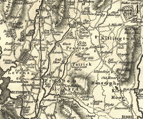
evidence:-   old map:- Cary 1789 (edn 1805) 
placename:-  Holm Scales
source data:-   Map, uncoloured engraving, Westmoreland, scale about 2.5 miles to 1 inch, by John Cary, London, 1789; edition 1805.
image
CY24SD58.jpg
"Holm Scales"
block/s, labelled in italic lowercase; house, or hamlet 
item:-  JandMN : 129
Image © see bottom of page

places:-  
SD55828748 Ghyll House (Old Hutton and Holmescales)
SD55808745 Healing (Old Hutton and Holmescales)
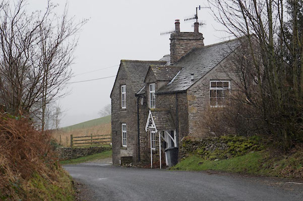
SD55868755 Holmescales Cottage (Old Hutton and Holmescales)
SD55838749 Holmescales Mill (Old Hutton and Holmescales) gone
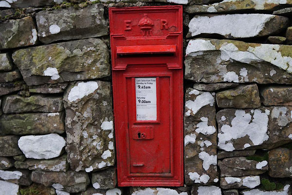
SD55928758 post box, Holmescales (Old Hutton and Holmescales)
button to lakes menu  Lakes Guides menu.