 |
 |
   |
|
|
|
Hoad Hill |
| locality:- |
Ulverston |
| civil parish:- |
Ulverston (formerly Lancashire) |
| county:- |
Cumbria |
| locality type:- |
hill |
| coordinates:- |
SD294790 |
| 1Km square:- |
SD2979 |
| 10Km square:- |
SD27 |
| altitude:- |
436 feet |
| altitude:- |
133m |
|
|
|

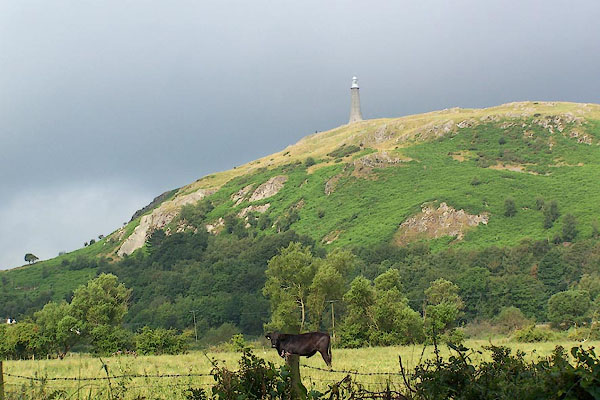
BMI94.jpg (taken 10.7.2006)
|
|
|
| evidence:- |
old map:- OS County Series (Lan 16 3)
placename:- Hoad Hill
|
| source data:- |
Maps, County Series maps of Great Britain, scales 6 and 25
inches to 1 mile, published by the Ordnance Survey, Southampton,
Hampshire, from about 1863 to 1948.
|
|
|
| evidence:- |
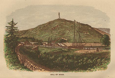
old print:- Barber 1873
placename:- Hill of Hoad
|
| source data:- |
Print, ?colour lithograph, Hill of Hoad, published by The
Graphotyping Co, 7 Garrick Street and Simpkin, Marshall and Co,
Stationers' Hall Court, London, and by J Atkinson, King Street,
Ulverston, Cumberland, about 1873.
 click to enlarge click to enlarge
BB1E05.jpg
Seen from beside the Ulverston Canal, on which there are ships;
Sir John Barrow Monument on Hoad Hill; railway bridge in the
background. "HILL OF HOAD"
item:- JandMN : 69.6
Image © see bottom of page
|
|
|
| evidence:- |
old print:- Waugh 1860
|
| source data:- |
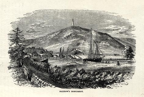
Print, engraving, Barrow's Monument, Ulverston, Lancashire, drawn by T H Wilson, engraved
by W Barker, published by Alexander Ireland and Co, 22 Market Street, Manchester,
1860.
 click to enlarge click to enlarge
WU0106.jpg
On p.29 of Over Sands to the Lakes, by Edwin Waugh.
printed at bottom left:- "THW"
printed at bottom right, centre:- "W. BARKER Sc. / BARROW'S MONUMENT."
item:- Armitt Library : A1082.6
Image © see bottom of page
|
|
|


 click to enlarge
 click to enlarge
 Lakes Guides menu.