 Old Cumbria Gazetteer
 |
 |
|
| High Tove, Borrowdale | ||
| High Tove | ||
| civil parish:- | Borrowdale (formerly Cumberland) | |
| county:- | Cumbria | |
| locality type:- | hill | |
| coordinates:- | NY288165 | |
| 1Km square:- | NY2816 | |
| 10Km square:- | NY21 | |
| altitude:- | 1690 feet | |
| altitude:- | 515m | |
|
|
||
| evidence:- | old map:- OS County Series (Cmd 70 7) placename:- High Tove placename:- Tove, High |
|
| source data:- | Maps, County Series maps of Great Britain, scales 6 and 25
inches to 1 mile, published by the Ordnance Survey, Southampton,
Hampshire, from about 1863 to 1948. |
|
|
|
||
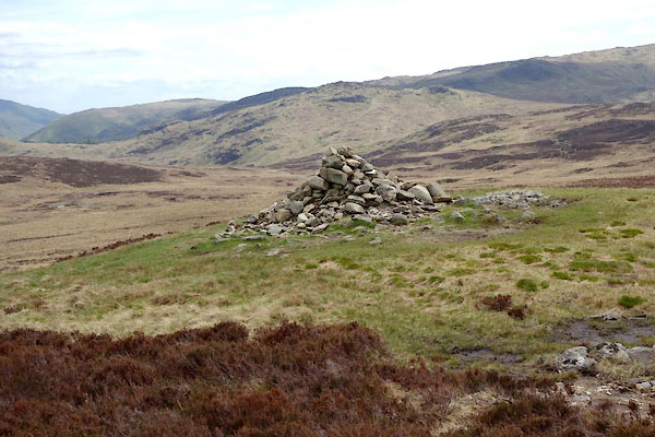 BYJ44.jpg Cairn on top. (taken 22.5.2013) 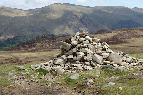 BYJ45.jpg Cairn on top. (taken 22.5.2013) |
||
|
|
||
 Lakes Guides menu.