 Old Cumbria Gazetteer
 |
 |
|
| High Seat, Borrowdale | ||
| High Seat | ||
| civil parish:- | Borrowdale (formerly Cumberland) | |
| civil parish:- | St John's Castlerigg and Wythburn (formerly Cumberland) | |
| county:- | Cumbria | |
| locality type:- | hill | |
| coordinates:- | NY28701805 | |
| 1Km square:- | NY2818 | |
| 10Km square:- | NY21 | |
| altitude:- | 1995 feet | |
| altitude:- | 608m | |
|
|
||
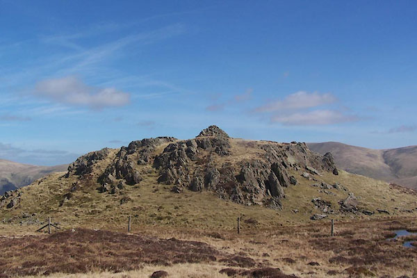 BUI49.jpg The 'man' on the top. (taken 7.4.2011) |
||
|
|
||
| evidence:- | old map:- OS County Series (Cmd 70 3) placename:- High Seat placename:- Seat, High |
|
| source data:- | Maps, County Series maps of Great Britain, scales 6 and 25
inches to 1 mile, published by the Ordnance Survey, Southampton,
Hampshire, from about 1863 to 1948. "High Seat / [trig point] BM 1995.5" |
|
|
|
||
 Lakes Guides menu.