 Old Cumbria Gazetteer
 |
 |
|
| High House, St Bees | ||
| High House | ||
| Street:- | High House Road | |
| locality:- | St Bees | |
| civil parish:- | St Bees (formerly Cumberland) | |
| county:- | Cumbria | |
| locality type:- | buildings | |
| coordinates:- | NX97581213 | |
| 1Km square:- | NX9712 | |
| 10Km square:- | NX91 | |
|
|
||
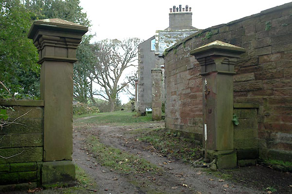 BXP95.jpg Gate piers. (taken 16.11.2012) 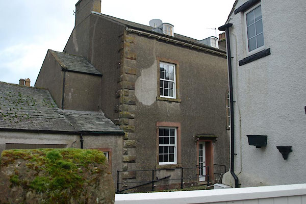 BXP94.jpg (taken 16.11.2012) |
||
|
|
||
| evidence:- | old map:- OS County Series (Cmd 67 13) placename:- High House placename:- House, High |
|
| source data:- | Maps, County Series maps of Great Britain, scales 6 and 25
inches to 1 mile, published by the Ordnance Survey, Southampton,
Hampshire, from about 1863 to 1948. |
|
|
|
||
 Lakes Guides menu.