 Old Cumbria Gazetteer
 |
 |
|
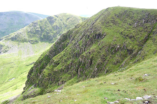
| High Crag, Patterdale | ||
| High Crag | ||
| site name:- | Dollywagon Pike | |
| civil parish:- | Patterdale (formerly Westmorland) | |
| county:- | Cumbria | |
| locality type:- | rocks | |
| locality type:- | hill | |
| coordinates:- | NY34331367 | |
| 1Km square:- | NY3413 | |
| 10Km square:- | NY31 | |
| altitude:- | 2900 feet | |
| altitude:- | 884m | |
|
|
||
 BRB51.jpg (taken 9.7.2009) 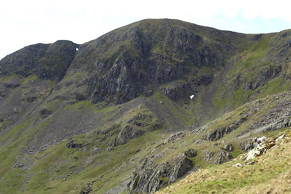 CAO66.jpg (taken 29.4.2014) |
||
|
|
||
| evidence:- | perhaps outline view:- Matthew 1866 placename:- Grisdale Pike |
|
| source data:- | Print, engraving, outline view, Helvellyn from above Harrop Tarn, Poney Road from
Wythburn to Whatendlath and Borrowdale, Cumberland, published by J Richardson, Highgate,
Kendal, Westmorland, 1866.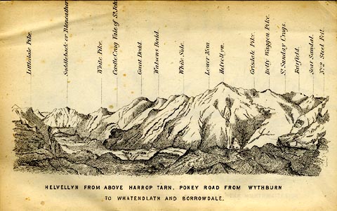 click to enlarge click to enlargeMW1E02.jpg Tipped in before p.1 of The English Lakes, Peaks and Passes, from Kendal to Keswick, by George King Matthew. printed at bottom:- "HELVELLYN FROM ABOVE HARROP TARN, PONEY ROAD FROM WYTHBURN TO WHATENDLATH AND BORROWDALE." printed at caption to mountains:- "... Grisdale Pike. ..." item:- Armitt Library : A1168.2 Image © see bottom of page |
|
|
|
||
 Lakes Guides menu.