 Old Cumbria Gazetteer
 |
 |
|
| High Birks, Crosthwaite and Lyth | ||
| High Birks | ||
| civil parish:- | Crosthwaite and Lyth (formerly Westmorland) | |
| county:- | Cumbria | |
| locality type:- | buildings | |
| coordinates:- | SD42789058 | |
| 1Km square:- | SD4290 | |
| 10Km square:- | SD49 | |
|
|
||
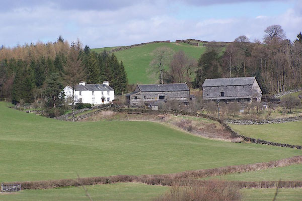 BLW14.jpg (taken 16.4.2006) |
||
|
|
||
| evidence:- | old map:- OS County Series (Wmd 37 12) placename:- High Birks placename:- Birks, High |
|
| source data:- | Maps, County Series maps of Great Britain, scales 6 and 25
inches to 1 mile, published by the Ordnance Survey, Southampton,
Hampshire, from about 1863 to 1948. |
|
|
|
||
| evidence:- | database:- Listed Buildings 2010 item:- date stone (1695) |
|
| source data:- | courtesy of English Heritage "FARM OUTBUILDING EAST OF HIGH BIRKS FARMHOUSE / / / CROSTHWAITE AND LYTH / SOUTH LAKELAND / CUMBRIA / II / 351992 / SD4280290578" |
|
|
|
||
| evidence:- | database:- Listed Buildings 2010 item:- date stone |
|
| source data:- | courtesy of English Heritage "FARM OUTBUILDING EAST SOUTH EAST OF HIGH BIRKS FARMHOUSE / / / CROSTHWAITE AND LYTH / SOUTH LAKELAND / CUMBRIA / II / 351993 / SD4278090586" |
|
|
|
||
 Lakes Guides menu.