 Old Cumbria Gazetteer
 |
 |
|
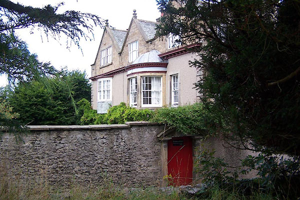
| Heversham House, Heversham | ||
| Heversham House | ||
| locality:- | Heversham | |
| civil parish:- | Heversham (formerly Westmorland) | |
| county:- | Cumbria | |
| locality type:- | buildings | |
| coordinates:- | SD49568343 | |
| 1Km square:- | SD4983 | |
| 10Km square:- | SD48 | |
|
|
||
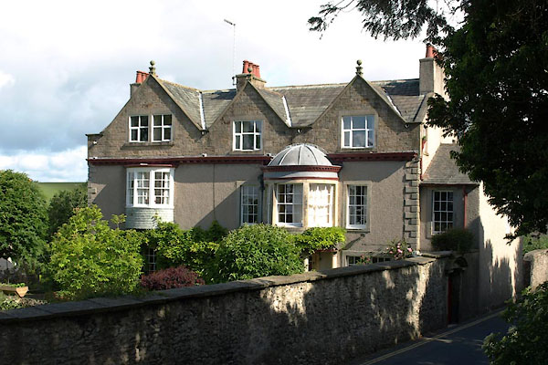 BUR51.jpg (taken 9.6.2011) 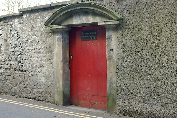 BYG80.jpg (taken 30.4.2013) |
||
|
|
||
| evidence:- | old map:- OS County Series (Wmd 42 15) placename:- Heversham House |
|
| source data:- | Maps, County Series maps of Great Britain, scales 6 and 25
inches to 1 mile, published by the Ordnance Survey, Southampton,
Hampshire, from about 1863 to 1948. |
|
|
|
||
 BJR90.jpg (taken 12.8.2005) |
||
|
|
||
 Lakes Guides menu.