 |
 |
|
|
|
|
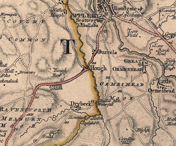
Heights |
| civil parish:- |
Ormside (formerly Westmorland) |
| county:- |
Cumbria |
| locality type:- |
locality |
| locality type:- |
buildings |
| coordinates:- |
NY69731473 (etc) |
| 1Km square:- |
NY6914 |
| 10Km square:- |
NY61 |
|
|
| evidence:- |
old map:- OS County Series (Wmd 15 15)
placename:- Heights
|
| source data:- |
Maps, County Series maps of Great Britain, scales 6 and 25
inches to 1 mile, published by the Ordnance Survey, Southampton,
Hampshire, from about 1863 to 1948.
|
|
|
| evidence:- |
old map:- Jefferys 1770 (Wmd)
placename:- Hights
|
| source data:- |
Map, 4 sheets, The County of Westmoreland, scale 1 inch to 1
mile, surveyed 1768, and engraved and published by Thomas
Jefferys, London, 1770.
J5NY61NE.jpg
"Hights"
circle, labelled in italic lowercase text; settlement, farm, house, or hamlet?
item:- National Library of Scotland : EME.s.47
Image © National Library of Scotland |
|
|
| places:- |
 |
NY69861482 Brow Farm (Ormside) |
|
|
|
NY69691479 Brow Foot (Ormside) |
|
|
|
NY69291523 Heights Castle (Ormside) |
|
|
 |
NY698148 Heights Cottages (Ormside) |
|
|
|
NY69401508 Heights Quarry (Ormside) |
|
|
|
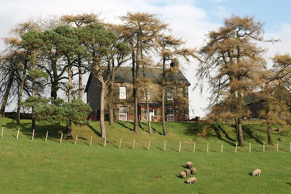
NY70021470 Heights (Ormside) |
|
|
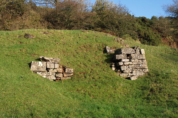 |
NY69431502 limekiln, Heights (Ormside) |
|
|
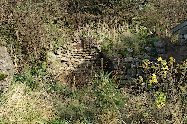 |
NY69321517 limekiln, Heights (2) (Ormside) |
|
|
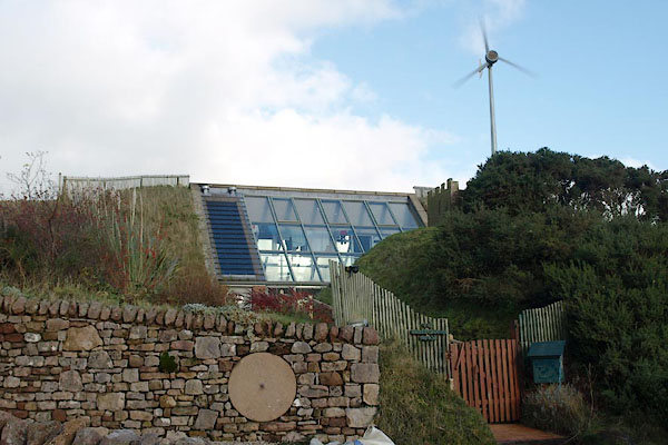 |
NY69251526 Underground House (Ormside) |
|
