Old Cumbria Gazetteer
 |
 |
|
||
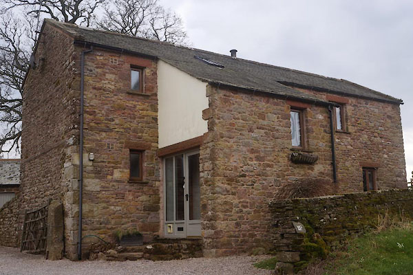
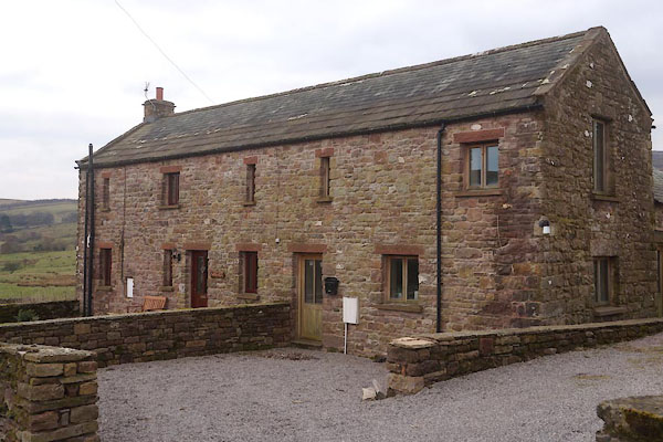
| Heggerscales, Kaber | ||||
| Heggerscales | ||||
| Street:- | Heggerscales Lane | |||
| civil parish:- | Kaber (formerly Westmorland) | |||
| county:- | Cumbria | |||
| locality type:- | locality | |||
| locality type:- | buildings | |||
| coordinates:- | NY82201046 | |||
| 1Km square:- | NY8210 | |||
| 10Km square:- | NY81 | |||
|
|
||||
| evidence:- | old map:- Morden 1695 (Wmd) placename:- Heggerscale |
|||
| source data:- | Map, hand coloured engraving, Westmorland, scale about 2.5 miles to 1 inch, by Robert
Morden, published by Abel Swale, the Unicorn, St Paul's Churchyard, Awnsham, and John
Churchill, the Black Swan, Paternoster Row, London, 1695.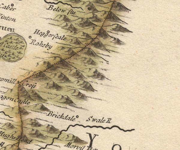 MD10NY80.jpg "Heggerscale" Circle. item:- JandMN : 24 Image © see bottom of page |
|||
|
|
||||
| evidence:- | old map:- Bowen and Kitchin 1760 placename:- Heggerscale |
|||
| source data:- | Map, hand coloured engraving, A New Map of the Counties of
Cumberland and Westmoreland Divided into their Respective Wards,
scale about 4 miles to 1 inch, by Emanuel Bowen and Thomas
Kitchin et al, published by T Bowles, Robert Sayer, and John
Bowles, London, 1760.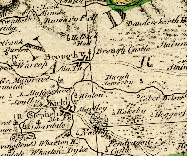 BO18NY71.jpg "Heggerscale" circle, tower item:- Armitt Library : 2008.14.10 Image © see bottom of page |
|||
|
|
||||
| evidence:- | old map:- Jefferys 1770 (Wmd) placename:- Heggerscale |
|||
| source data:- | Map, 4 sheets, The County of Westmoreland, scale 1 inch to 1
mile, surveyed 1768, and engraved and published by Thomas
Jefferys, London, 1770.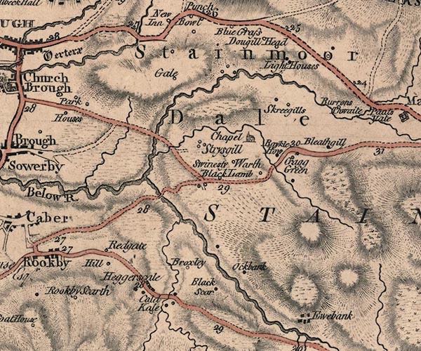 J5NY81SW.jpg "Heggerscale" blocks, labelled in italic lowercase text; settlement, village? item:- National Library of Scotland : EME.s.47 Image © National Library of Scotland |
|||
|
|
||||
| places:- |
|
|||
|
||||
|
||||
 Lakes Guides menu.