Old Cumbria Gazetteer
 |
 |
|
||
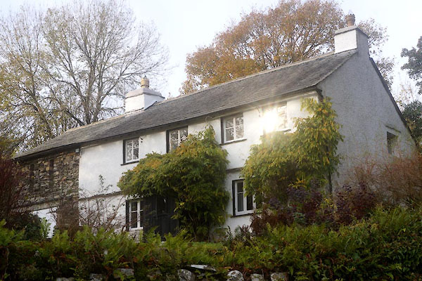
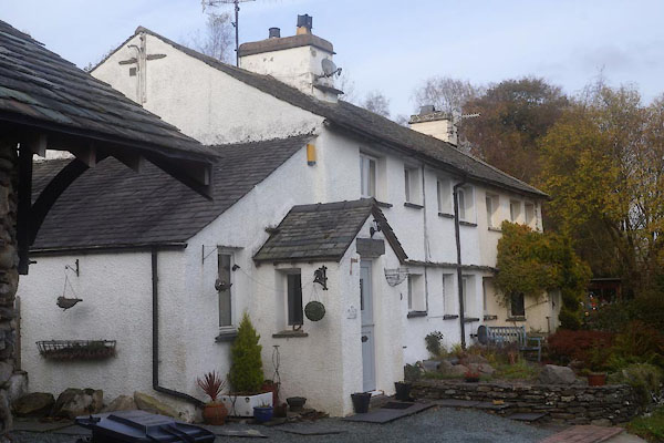
| Heaning, Windermere | ||||
| Heaning | ||||
| civil parish:- | Windermere (formerly Westmorland) | |||
| county:- | Cumbria | |||
| locality type:- | locality | |||
| locality type:- | buildings | |||
| coordinates:- | SD43169914 (etc) | |||
| 1Km square:- | SD4399 | |||
| 10Km square:- | SD49 | |||
|
|
||||
| evidence:- | old map:- OS County Series (Wmd 32 8) placename:- Heaning |
|||
| source data:- | Maps, County Series maps of Great Britain, scales 6 and 25
inches to 1 mile, published by the Ordnance Survey, Southampton,
Hampshire, from about 1863 to 1948. |
|||
|
|
||||
| places:- |
|
|||
|
||||
 Lakes Guides menu.