 |
 |
|
|
|
|
Hawkrigg |
| Street:- |
Hawkrigg Lane |
| civil parish:- |
New Hutton (formerly Westmorland) |
| county:- |
Cumbria |
| locality type:- |
locality |
| locality type:- |
buildings |
| coordinates:- |
SD55819115 (etc) |
| 1Km square:- |
SD5591 |
| 10Km square:- |
SD59 |
|
|
|
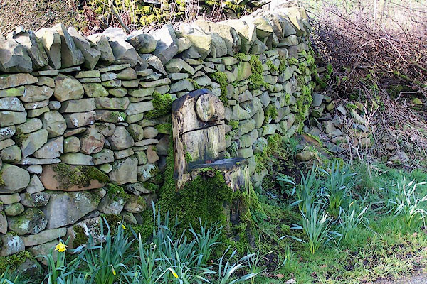
BNH11.jpg A seat made from a tree stump.
(taken 2.3.2007)
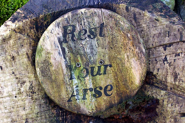
BNH12.jpg The seat label:-
"Rest Your Arse" (taken 2.3.2007)
|
|
|
| evidence:- |
old map:- OS County Series (Wmd 39 10)
placename:- Hawk Rigg
|
| source data:- |
Maps, County Series maps of Great Britain, scales 6 and 25
inches to 1 mile, published by the Ordnance Survey, Southampton,
Hampshire, from about 1863 to 1948.
|
|
|
| places:- |
 |
SD55789121 Great Hawkrigg End (New Hutton) |
|
|
|
SD55979150 Hawkrigg Hill (New Hutton) |
|
|
|
SD55809136 Hawkrigg Lane (New Hutton) |
|
|
|
SD62259236 Hawkrigg Wood (Firbank) |
|
|
 |
SD55819111 hedge, Hawrigg (New Hutton) |
|
|
|
SD55859122 Little Hawrigg End (New Hutton) |
|
|
 |
SD55809094 Strawberry Bank Farm (New Hutton) L |
|
