 Old Cumbria Gazetteer
 |
 |
|
| Haverthwaite Station, Haverthwaite | ||
| Haverthwaite Station | ||
| site name:- | Lakeside branch railway | |
| site name:- | Lakeside and Haverthwaite Railway | |
| locality:- | Haverthwaite | |
| civil parish:- | Haverthwaite (formerly Lancashire) | |
| county:- | Cumbria | |
| locality type:- | railway station | |
| coordinates:- | SD34958425 | |
| 1Km square:- | SD3484 | |
| 10Km square:- | SD38 | |
| SummaryText:- | Opened 1869; closed 1946; reopened about 1973. | |
|
|
||
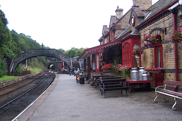 BJR27.jpg (taken 5.8.2005) 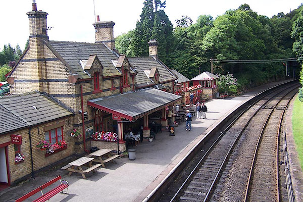 BJR28.jpg (taken 5.8.2005) |
||
|
|
||
| evidence:- | old map:- OS County Series (Lan 12 2) placename:- Haverthwaite Station item:- weighing machine; railway signal |
|
| source data:- | Maps, County Series maps of Great Britain, scales 6 and 25
inches to 1 mile, published by the Ordnance Survey, Southampton,
Hampshire, from about 1863 to 1948.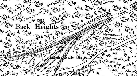 click to enlarge click to enlargeCSRY0156.jpg "Haverthwaite Station / S.B. / W.M. / S.P." |
|
|
|
||
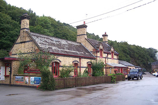
 CDB98.jpg View SW (taken 24.5.2015) 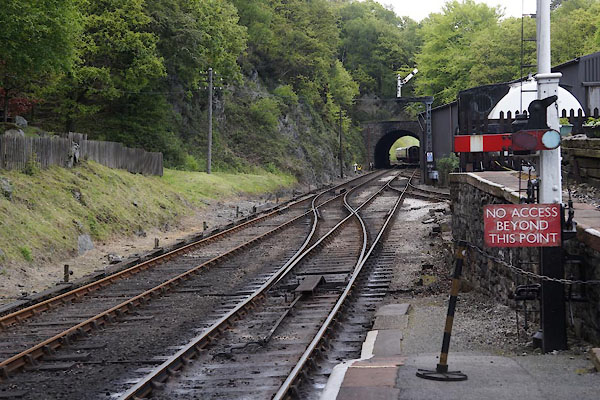 CDB99.jpg View NE (taken 24.5.2015) |
||
|
|
||
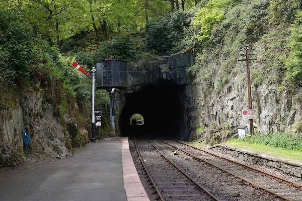
 BMN06.jpg (taken 15.8.2006) 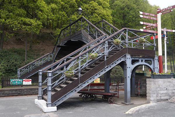 CDB96.jpg Footbridge. (taken 24.5.2015) 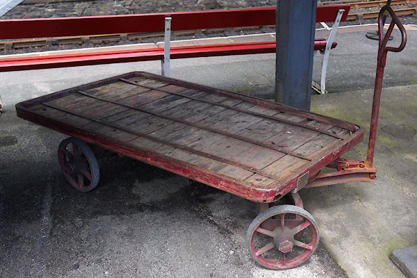 CDB97.jpg Luggage trolley (taken 24.5.2015) 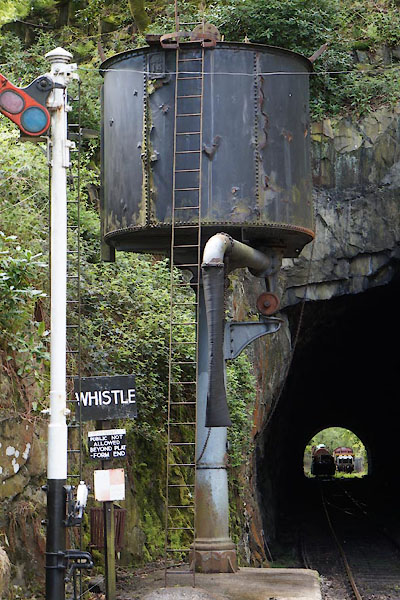 CDC01.jpg Water tower. (taken 24.5.2015) 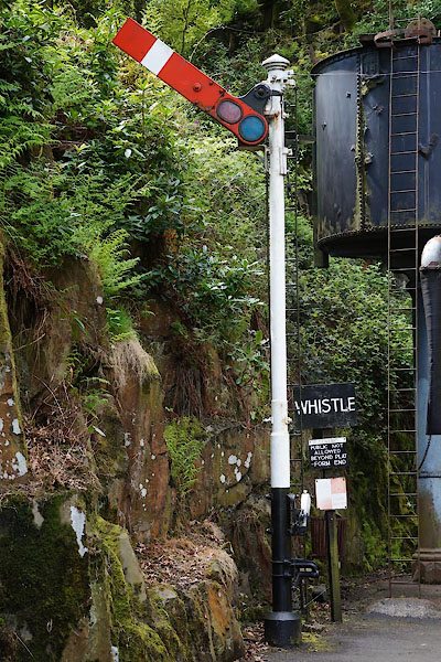 CDC02.jpg Signal. (taken 24.5.2015) 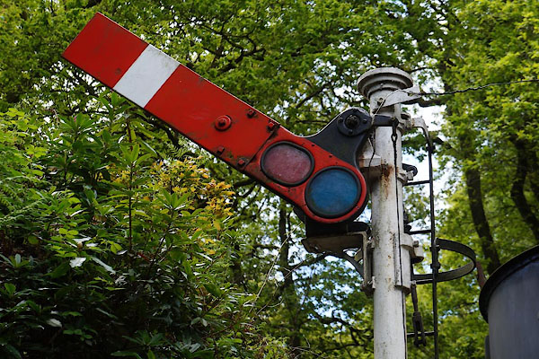 CDC03.jpg Signal. (taken 24.5.2015) 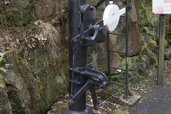 CDC04.jpg Signal. (taken 24.5.2015) 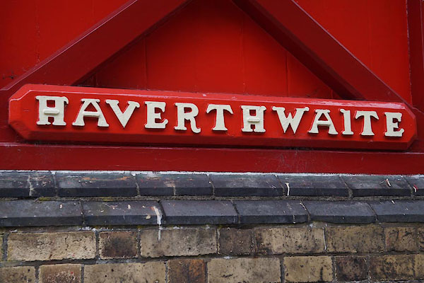 CDC06.jpg Sign. (taken 24.5.2015) 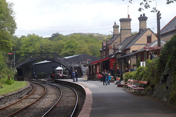 CDC05.jpg (taken 24.5.2015) |
||
|
|
||
| Paley and Austin series | ||
| person:- | architect : Paley, Edward G |
|
| date:- | 1869 |
|
| New building. |
||
|
|
||
 Lakes Guides menu.