 |
 |
   |
|
|
|
Haverbrack |
| civil parish:- |
Beetham (formerly Westmorland) |
| county:- |
Cumbria |
| locality type:- |
locality |
| coordinates:- |
SD48838031 (etc) |
| 1Km square:- |
SD4880 |
| 10Km square:- |
SD48 |
| SummaryText:- |
this is a large area which includes The Park of Dallam |
|
|
| evidence:- |
old map:- OS County Series (Wmd 46 3)
placename:- Haverbrack
|
| source data:- |
Maps, County Series maps of Great Britain, scales 6 and 25
inches to 1 mile, published by the Ordnance Survey, Southampton,
Hampshire, from about 1863 to 1948.
"HAVERBRACK"
|
|
|
| evidence:- |
hearth tax returns:- Hearth Tax 1675
placename:- Haverbracke
|
| source data:- |
Records, hearth tax survey returns, Westmorland, 1674/75.
"Haverbracke"
in "Millthorp"
|
|
|
| evidence:- |
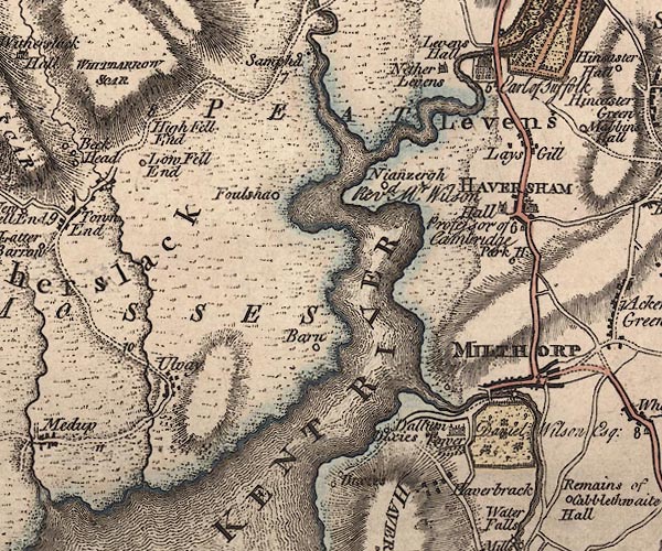
old map:- Jefferys 1770 (Wmd)
placename:- Haverbrack
|
| source data:- |
Map, 4 sheets, The County of Westmoreland, scale 1 inch to 1
mile, surveyed 1768, and engraved and published by Thomas
Jefferys, London, 1770.

J5SD48SE.jpg
"Haverbrack"
blocks, labelled in italic lowercase text; settlement, village?
item:- National Library of Scotland : EME.s.47
Image © National Library of Scotland |
|
|
| evidence:- |
old text:- Camden 1789 (Gough Additions)
placename:- Haverbrack
|
| source data:- |
Book, Britannia, or A Chorographical Description of the Flourishing Kingdoms of England,
Scotland, and Ireland, by William Camden, 1586, translated from the 1607 Latin edition
by Richard Gough, published London, 1789.
 goto source goto source
Page 153:- "..."
"In Haverbrack park is a small hill, on the top of which was formerly a circular castle,
whence it is still called Castle hill, and the side thereof Castle bank."
|
|
|
| evidence:- |
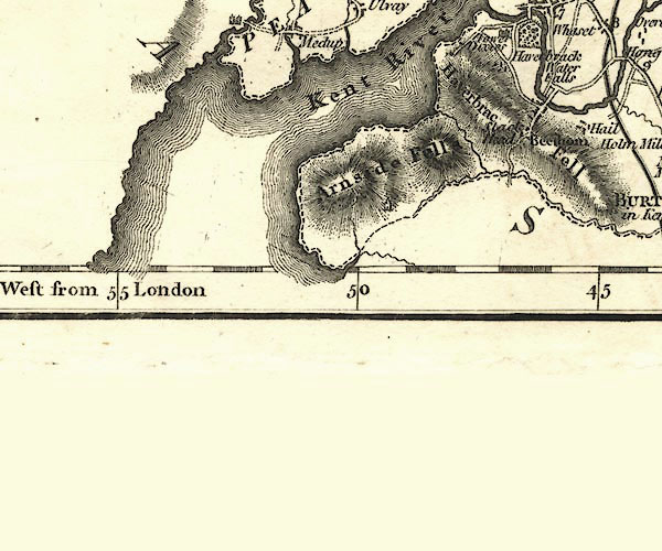
old map:- Cary 1789 (edn 1805)
placename:- Haverbrack
|
| source data:- |
Map, uncoloured engraving, Westmoreland, scale about 2.5 miles
to 1 inch, by John Cary, London, 1789; edition 1805.

CY24SD47.jpg
"Haverbrack"
block/s, labelled in italic lowercase; house, or hamlet
item:- JandMN : 129
Image © see bottom of page
|
|
|


 goto source
