 Old Cumbria Gazetteer
 |
 |
|
| Harter Fell, Ravenstonedale | ||
| Harter Fell | ||
| locality:- | Ravenstonedale Common | |
| civil parish:- | Ravenstonedale (formerly Westmorland) | |
| county:- | Cumbria | |
| locality type:- | hill | |
| locality type:- | fell | |
| coordinates:- | NY72110023 | |
| 1Km square:- | NY7200 | |
| 10Km square:- | NY70 | |
| altitude:- | 1713 feet | |
| altitude:- | 522m | |
|
|
||
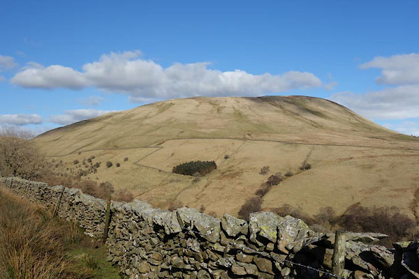 CER46.jpg (taken 7.3.2016) 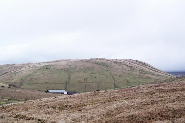 BPV44.jpg (taken 19.11.2008) |
||
|
|
||
| evidence:- | old map:- OS County Series (Wmd 35 4) placename:- Harter Fell |
|
| source data:- | Maps, County Series maps of Great Britain, scales 6 and 25
inches to 1 mile, published by the Ordnance Survey, Southampton,
Hampshire, from about 1863 to 1948. OS County Series (Wmd 36 1) |
|
|
|
||
| evidence:- | old map:- Jefferys 1770 (Wmd) |
|
| source data:- | Map, 4 sheets, The County of Westmoreland, scale 1 inch to 1
mile, surveyed 1768, and engraved and published by Thomas
Jefferys, London, 1770.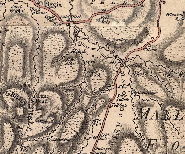 J5NY70SW.jpg hill hachuring; hill or mountain item:- National Library of Scotland : EME.s.47 Image © National Library of Scotland |
|
|
|
||
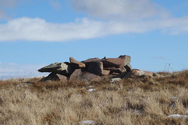 CER36.jpg A sort of cairn, (taken 7.3.2016) 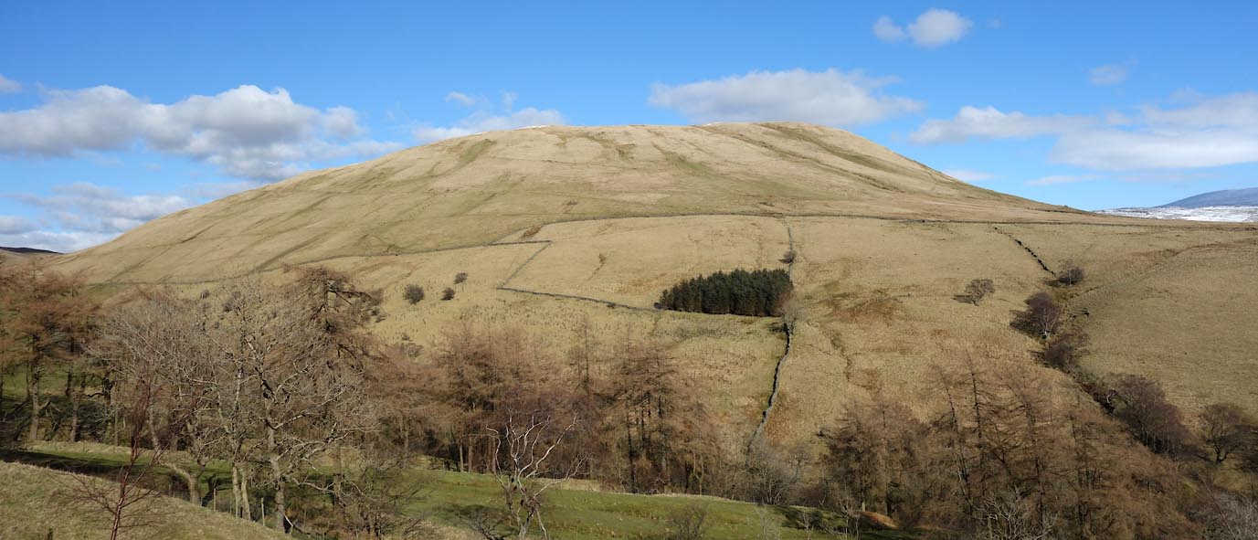 Click to enlarge CER47.jpg (taken 7.3.2016) |
||
|
|
||
 Lakes Guides menu.