 Old Cumbria Gazetteer
 |
 |
|
| Great Hartbarrow, Cartmel Fell | ||
| Great Hartbarrow | ||
| civil parish:- | Cartmel Fell (formerly Lancashire) | |
| county:- | Cumbria | |
| locality type:- | buildings | |
| coordinates:- | SD40799061 | |
| 1Km square:- | SD4090 | |
| 10Km square:- | SD49 | |
|
|
||
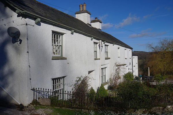 CEO20.jpg (taken 10.2.2016) 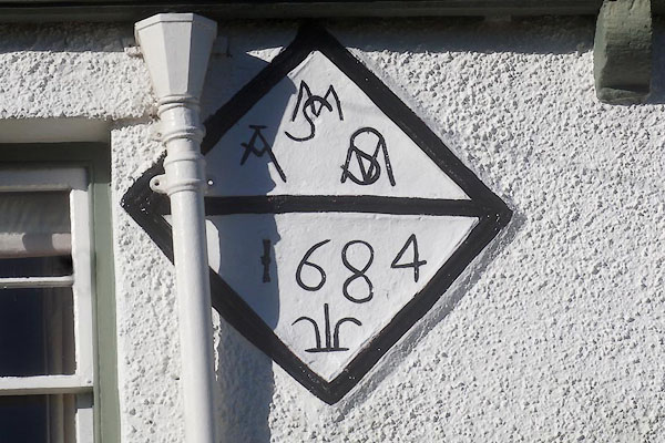 CEO21.jpg Date stone:- "MS / A MS / 1684" (taken 10.2.2016) |
||
|
|
||
| evidence:- | old map:- OS County Series (Lan 8 4) placename:- Great Hartbarrow placename:- Hartbarrow, Great |
|
| source data:- | Maps, County Series maps of Great Britain, scales 6 and 25
inches to 1 mile, published by the Ordnance Survey, Southampton,
Hampshire, from about 1863 to 1948. |
|
|
|
||
| evidence:- | database:- Listed Buildings 2010 placename:- Great Hartbarrow Farm |
|
| source data:- | courtesy of English Heritage "GREAT HARTBARROW FARMHOUSE, COTTAGE AND OUTBUILDING / / / CARTMEL FELL / SOUTH LAKELAND / CUMBRIA / II / 75574 / SD4079190613" |
|
|
|
||
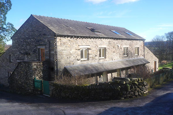 CEO24.jpg Converted barn. (taken 10.2.2016) |
||
|
|
||
 Lakes Guides menu.