


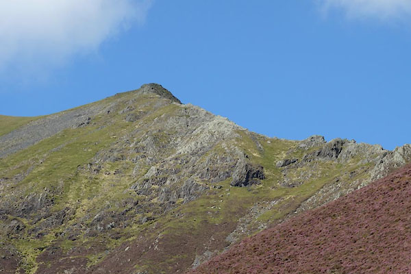
CBO11.jpg (taken 26.8.2014)
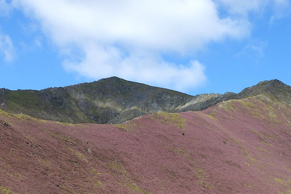
CBN95.jpg (taken 26.8.2014)
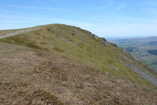
placename:- Hallsfell Top
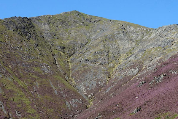
placename:- Blencarter
 goto source
Gentleman's Magazine 1747 p.523 "... This last [Lender-maken, River Glenderamackin] springs under Saddle back, a Parnassian eminence, with two prominent peaks; the most northerly is called Blencarter, a suprizingly high precipice of the quarry kind. ..."
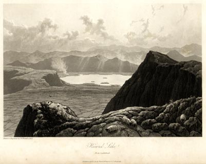 click to enlarge
WTL103.jpg
printed, bottom left, centre "Drawn & Engraved by W. Westall A.R.A. / Keswick Lake. / From Saddleback. / Published April 1, 1820, by Hurst, Robinson &Co. Cheapside."
item:- Armitt Library : A6671.3
Image © see bottom of page
placename:- Linthwaite Pike
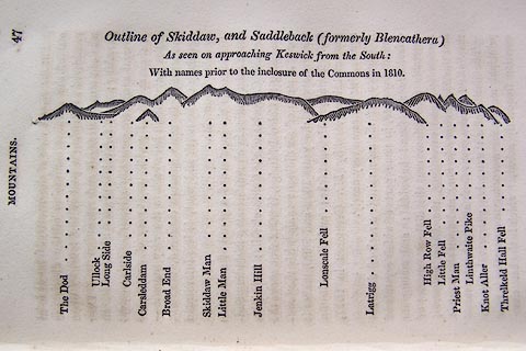 click to enlarge
O75E01.jpg
p.47 in A Concise Description of the English Lakes, by Jonathan Otley, 4th edition, 1830. "Outline View of Skiddaw, and Saddleback (formerly Blencathera) As seen on approaching Keswick from the South: With names prior to the inclosure of the Commons in 1810."
"The Dod / Ullock / Long Side / Carleside / Carsleddam / Broad End / Skiddaw Man / Little Man / Jenkin Hill / Lonscale Fell / Latrigg / High Row Fell / Little Fell / Priest Man / Linthwaite Pike / Knot Aller / Threlkeld Hall Fell"
item:- Armitt Library : A1175.2
Image © see bottom of page
placename:- Linthwaite Pike
 click to enlarge
OT2E08.jpg
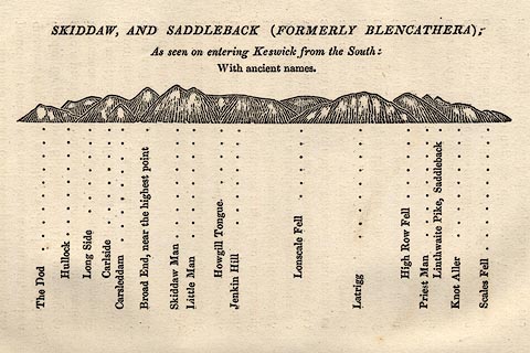
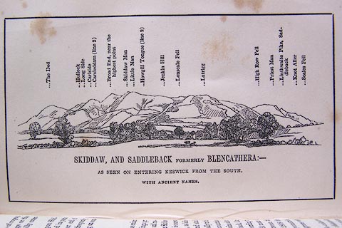
Printed on p.49 of A Concise Description of the English Lakes, by Jonathan Otley, 5th edition, 1834. "SKIDDAW, AND SADDLEBACK (FORMERLY BLENCATHRA): As seen entering Keswick from the South: With ancient names."
"The Dod / Hullock / Long Side / Carlside / Carsleddam / Broad End, near the highest point / Skiddaw Man / Little Man / Howgill Tongue / Jenkin Hill / Lonscale Fell / Latrigg / High Row Fell / Priest Man / Linthwaite Pike, Saddleback / Knot Aller / Scales Fell"
item:- JandMN : 48.9
Image © see bottom of page
placename:- Linthwaite Pike
 click to enlarge
O80E16.jpg
item:- Armitt Library : A1180.17
Image © see bottom of page
placename:- Linthwaite Pike
 goto source
Page 65:- "..."
"[Blancathra] ... From Linthwaite Pike, the highest point, the prospect is open to the north, east, and south. ..."
placename:- Linthwaite Fell
 goto source
Page 99:- "... the view of Derwent Water from the summit [of Saddleback]. Southey says, "Derwent Water, as seen from the top of Saddleback, is one of the finest moun-"
 goto source
Page 100:- "[moun]tain scenes in the country." That summit is called Linthwaite Fell; ..."

Click to enlarge
CBN94.jpg (taken 26.8.2014)
CBO04.jpg (taken 26.8.2014)
CDI72.jpg (taken 11.6.2015)
