 Old Cumbria Gazetteer
 |
 |
|
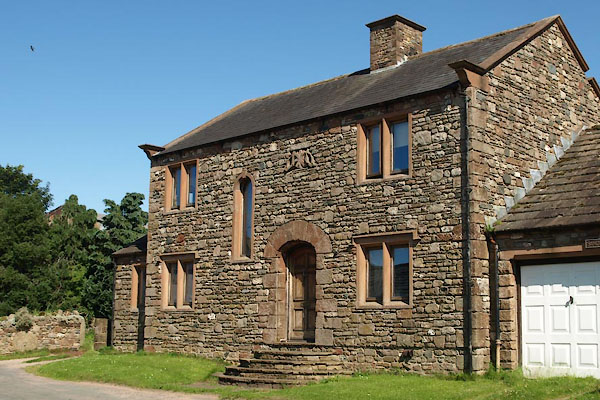
| Sandford Hall, Sandford | ||
| Sandford Hall | ||
| locality:- | Sandford | |
| civil parish:- | Warcop (formerly Westmorland) | |
| county:- | Cumbria | |
| locality type:- | buildings | |
| coordinates:- | NY73111616 | |
| 1Km square:- | NY7316 | |
| 10Km square:- | NY71 | |
|
|
||
 BVB11.jpg (taken 24.7.2011) 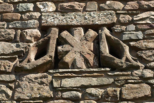 BVB12.jpg (taken 24.7.2011) |
||
|
|
||
| evidence:- | old map:- OS County Series (Wmd 16 9) placename:- Sandford Hall |
|
| source data:- | Maps, County Series maps of Great Britain, scales 6 and 25
inches to 1 mile, published by the Ordnance Survey, Southampton,
Hampshire, from about 1863 to 1948. |
|
|
|
||
 Lakes Guides menu.