 Old Cumbria Gazetteer
 |
 |
|
| Staffield Hall, Staffield | ||
| Staffield Hall | ||
| Staffield Park | ||
| locality:- | Staffield | |
| civil parish:- | Kirkoswald (formerly Cumberland) | |
| county:- | Cumbria | |
| locality type:- | buildings | |
| locality type:- | park | |
| coordinates:- | NY54334257 (etc) | |
| 1Km square:- | NY5442 | |
| 10Km square:- | NY54 | |
|
|
||
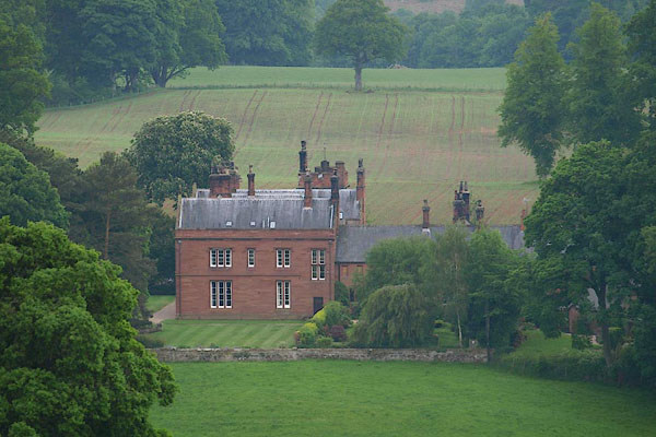 BPH25.jpg (taken 30.5.2008) |
||
|
|
||
| evidence:- | old map:- OS County Series (Cmd 40 5) placename:- Staffield Hall |
|
| source data:- | Maps, County Series maps of Great Britain, scales 6 and 25
inches to 1 mile, published by the Ordnance Survey, Southampton,
Hampshire, from about 1863 to 1948. |
|
|
|
||
| evidence:- | old map:- Bowen and Kitchin 1760 |
|
| source data:- | Map, hand coloured engraving, A New Map of the Counties of
Cumberland and Westmoreland Divided into their Respective Wards,
scale about 4 miles to 1 inch, by Emanuel Bowen and Thomas
Kitchin et al, published by T Bowles, Robert Sayer, and John
Bowles, London, 1760.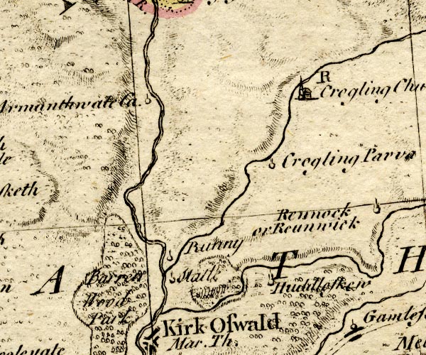 BO18NY54.jpg outline of fence palings, trees item:- Armitt Library : 2008.14.10 Image © see bottom of page |
|
|
|
||
 Lakes Guides menu.