 Old Cumbria Gazetteer
 |
 |
|
| Hall Garth, Musgrave | ||
| Hall Garth | ||
| Hallgarth | ||
| civil parish:- | Musgrave (formerly Westmorland) | |
| county:- | Cumbria | |
| locality type:- | buildings | |
| coordinates:- | NY77341353 | |
| 1Km square:- | NY7713 | |
| 10Km square:- | NY71 | |
|
|
||
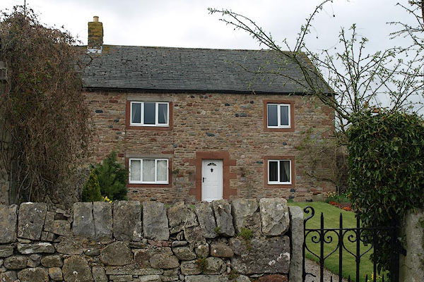 BSQ53.jpg (taken 30.4.2010) 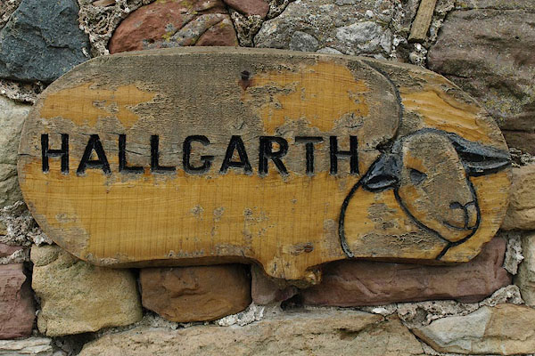 BSQ54.jpg Sign. (taken 30.4.2010) |
||
|
|
||
| evidence:- | old map:- OS County Series (Wmd 23 3) placename:- Hall Garth |
|
| source data:- | Maps, County Series maps of Great Britain, scales 6 and 25
inches to 1 mile, published by the Ordnance Survey, Southampton,
Hampshire, from about 1863 to 1948. |
|
|
|
||
| evidence:- | old map:- Jefferys 1770 (Wmd) placename:- Hall Garth |
|
| source data:- | Map, 4 sheets, The County of Westmoreland, scale 1 inch to 1
mile, surveyed 1768, and engraved and published by Thomas
Jefferys, London, 1770.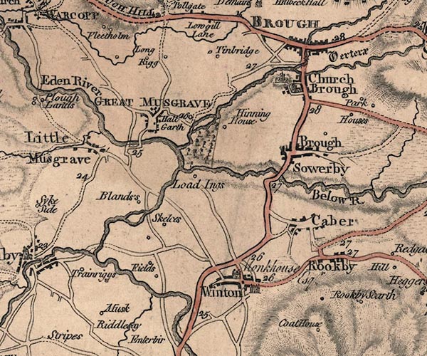 J5NY71SE.jpg "Hall Garth" block item:- National Library of Scotland : EME.s.47 Image © National Library of Scotland |
|
|
|
||
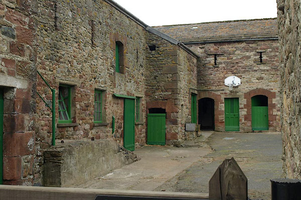 BSQ55.jpg Barns. (taken 30.4.2010) |
||
|
|
||
 Lakes Guides menu.