Old Cumbria Gazetteer
 |
 |
|
||
| Hall Beck | ||||
| runs into:- |  Kent, River Kent, River |
|||
|
|
||||
| civil parish:- | Over Staveley (formerly Westmorland) | |||
| county:- | Cumbria | |||
| locality type:- | river | |||
| 1Km square:- | NY4601 (etc) | |||
| 10Km square:- | NY40 | |||
|
|
||||
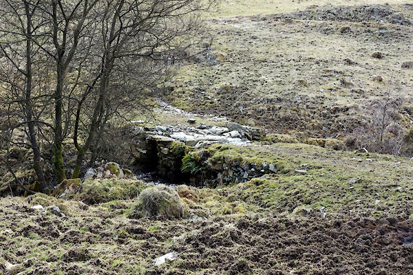
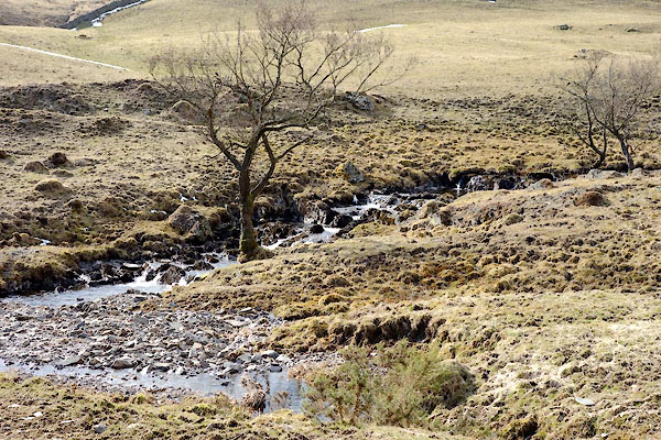 BYA66.jpg At a bridge:- (taken 29.3.2013) 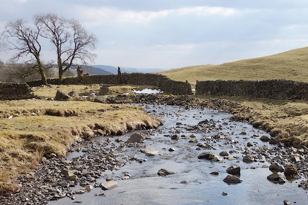 BYA67.jpg (taken 29.3.2013) |
||||
|
|
||||
| evidence:- | old map:- OS County Series (Wmd 33 2) placename:- Hall Beck |
|||
| source data:- | Maps, County Series maps of Great Britain, scales 6 and 25
inches to 1 mile, published by the Ordnance Survey, Southampton,
Hampshire, from about 1863 to 1948. |
|||
|
|
||||
| evidence:- | old map:- Cary 1789 (edn 1805) |
|||
| source data:- | Map, uncoloured engraving, Westmoreland, scale about 2.5 miles
to 1 inch, by John Cary, London, 1789; edition 1805.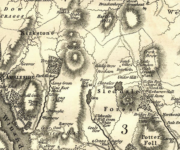 CY24NY40.jpg river running into the Kent item:- JandMN : 129 Image © see bottom of page |
|||
|
|
||||
| mapping:- | ||||
|
|
||||
| places:- |
|
|||
|
||||
Lakes Guides menu.