 Old Cumbria Gazetteer
 |
 |
|
| Grey Knotts, Borrowdale | ||
| Grey Knotts | ||
| civil parish:- | Borrowdale (formerly Cumberland) | |
| civil parish:- | Buttermere (formerly Cumberland) | |
| county:- | Cumbria | |
| locality type:- | hill | |
| coordinates:- | NY21721256 | |
| 1Km square:- | NY2112 | |
| 10Km square:- | NY21 | |
| altitude:- | 2287 feet | |
| altitude:- | 697m | |
|
|
||
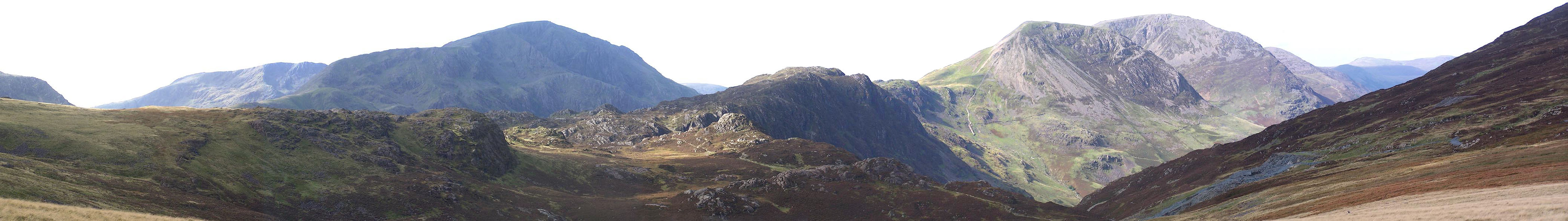 Click to enlarge BMR50.jpg From east summit of Grey Knotts, Pillar, Hay Stacks, High Crag, High Stile, etc. (taken 22.9.2006) 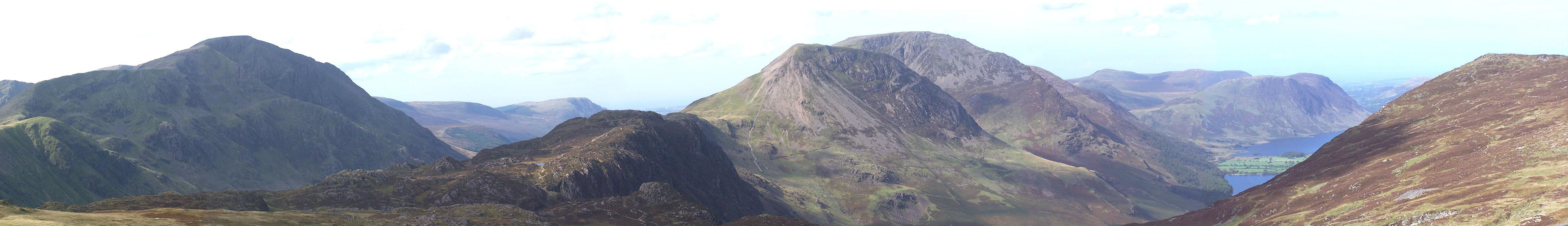 Click to enlarge BMR52.jpg From side of the hill, Pillar, Hay Stacks, High Crag, High Stile, etc. (taken 22.9.2006) |
||
|
|
||
| evidence:- | old map:- OS County Series (Cmd 69 16) placename:- Grey Knotts |
|
| source data:- | Maps, County Series maps of Great Britain, scales 6 and 25
inches to 1 mile, published by the Ordnance Survey, Southampton,
Hampshire, from about 1863 to 1948. |
|
|
|
||
| evidence:- | outline view:- Jenkinson 1875 placename:- Grey Knotts |
|
| source data:- | Print, lithograph, outline view, Panoramic Sketches from Scawfell Pike, Cumberland,
by Edwin A Pettitt, London, published by Edward Stanford, 55 Charing Cross, London,
1875. click to enlarge click to enlargeJk01E3.jpg "... Grey Knotts ..." item:- JandMN : 28.9 Image © see bottom of page |
|
|
|
||
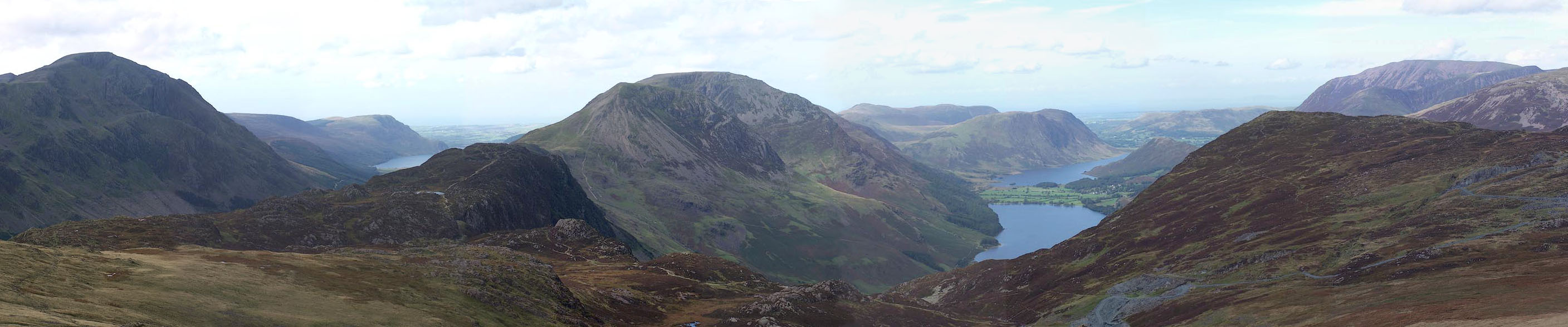 Click to enlarge BMR54.jpg From west summit, Ennerdale Water, Buttermere, Crummock Water, and mountains. (taken 22.9.2006) 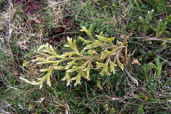 BMR49.jpg Moss on the west side of the hill, perhaps Rhacomitrium lanuginosum? (taken 22.9.2006) 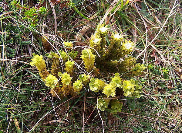 BMR51.jpg Moss on the west side of the hill, perhaps Dicrenella squarrosa?? (taken 22.9.2006) |
||
|
|
||
 Lakes Guides menu.