 Old Cumbria Gazetteer
 |
 |
|
| Greenup Edge, Borrowdale | ||
| Greenup Edge | ||
| civil parish:- | Borrowdale (formerly Cumberland) | |
| civil parish:- | St John's Castlerigg and Wythburn (formerly Cumberland) | |
| county:- | Cumbria | |
| locality type:- | hill | |
| locality type:- | boundary mark | |
| locality type:- | parish boundary mark | |
| locality type:- | pass | |
| coordinates:- | NY28551051 (etc) | |
| 1Km square:- | NY2810 | |
| 10Km square:- | NY21 | |
| SummaryText:- | the path crosses at NY28571055, a 'pass' | |
|
|
||
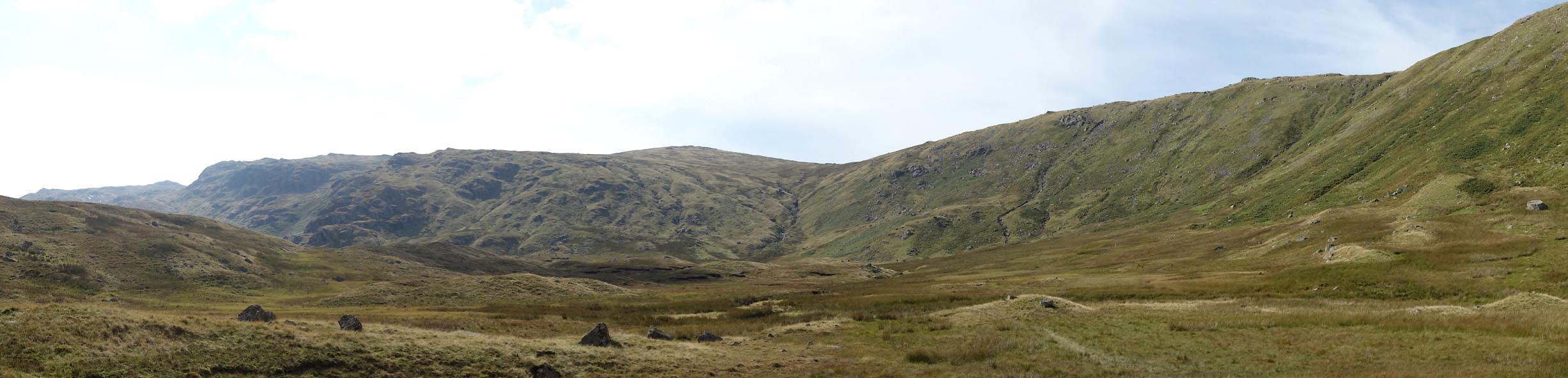 Click to enlarge CBP84.jpg (taken 8.9.2014) |
||
|
|
||
| evidence:- | old map:- OS County Series (Cmd 75 3) placename:- Greenup Edge |
|
| source data:- | Maps, County Series maps of Great Britain, scales 6 and 25
inches to 1 mile, published by the Ordnance Survey, Southampton,
Hampshire, from about 1863 to 1948. |
|
|
|
||
 Lakes Guides menu.