 Old Cumbria Gazetteer
 |
 |
|
| Greenside Smelting Mill, Glenridding | ||
| Greenside Smelting Mill | ||
| Greenside Mine | ||
| locality:- | Greenside | |
| locality:- | Glenridding | |
| civil parish:- | Patterdale (formerly Westmorland) | |
| county:- | Cumbria | |
| locality type:- | lead mine | |
| locality type:- | smelt mill | |
| coordinates:- | NY36501741 (etc) | |
| 1Km square:- | NY3617 | |
| 10Km square:- | NY31 | |
|
|
||
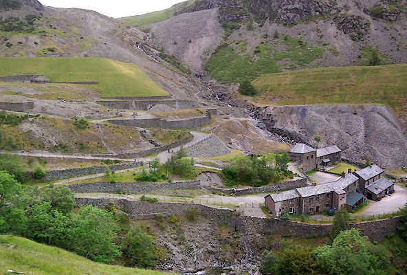 BUV25.jpg (taken 20.6.2011) 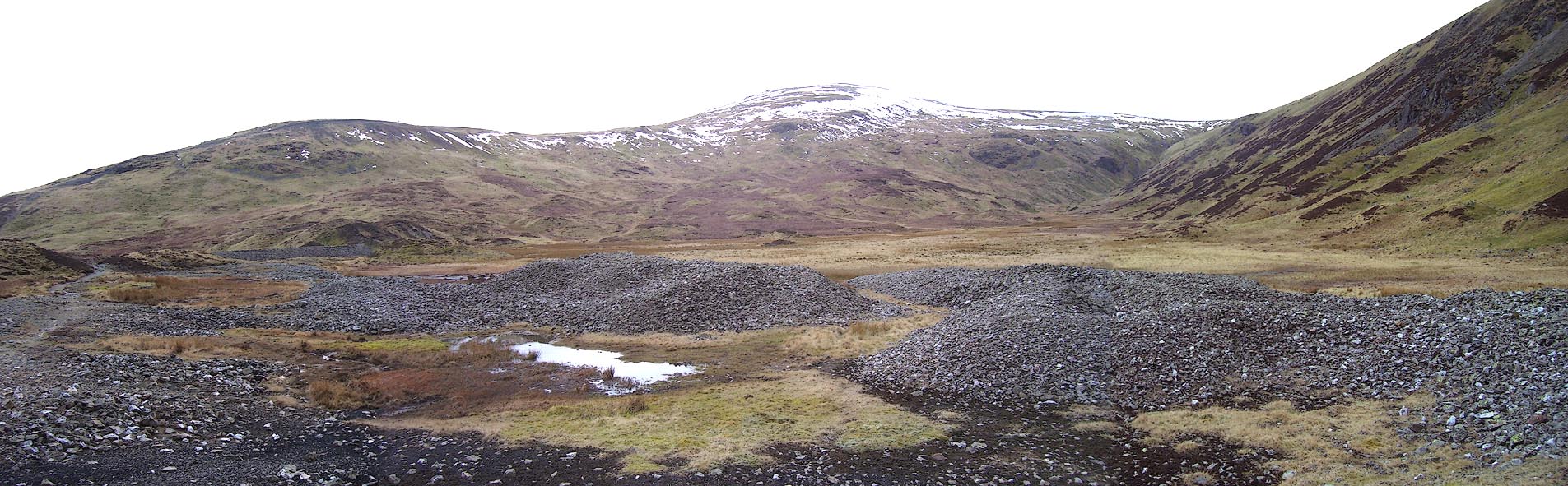 Click to enlarge BOV31.jpg (taken 17.3.2008) |
||
|
|
||
| evidence:- | old map:- OS County Series (Wmd 12 6) placename:- Greenside Mine |
|
| source data:- | Maps, County Series maps of Great Britain, scales 6 and 25
inches to 1 mile, published by the Ordnance Survey, Southampton,
Hampshire, from about 1863 to 1948. "Greenside Smelting Mill / Crushing Mill / Crushing Mill / Saw Mill / Aqueducts" |
|
|
|
||
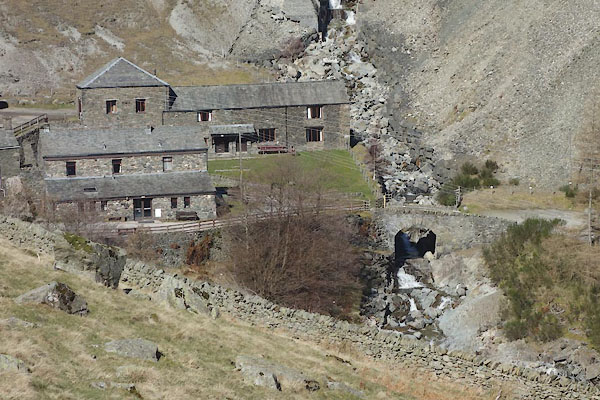 CET34.jpg (taken 14.3.2016) 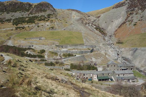 CET35.jpg (taken 14.3.2016) 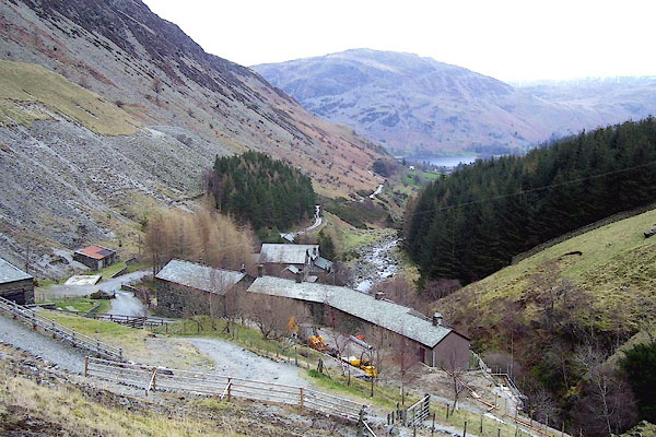 BOV35.jpg (taken 17.3.2008) 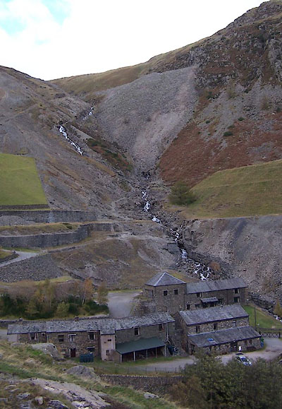 BVO07.jpg (taken 19.10.2011)  CCC89.jpg (taken 18.11.2014)  CCC90.jpg (taken 18.11.2014) |
||
|
|
||
 Lakes Guides menu.