 |
 |
   |
|
|
|
Great Asby Scar |
|
|
|
Asby Scar |
| civil parish:- |
Asby (formerly Westmorland) |
| civil parish:- |
Crosby Ravensworth (formerly Westmorland) |
| civil parish:- |
Orton S (formerly Westmorland) |
| county:- |
Cumbria |
| locality type:- |
locality |
| locality type:- |
rocks |
| locality type:- |
National Nature Reserve |
| coordinates:- |
NY65511028 (etc) |
| 1Km square:- |
NY6510 |
| 10Km square:- |
NY61 |
| 10Km square:- |
NY60 |
| SummaryText:- |
this is used as a label for the whole area of Asby Scar |
|
|
|
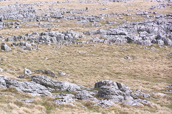
BNN52.jpg (taken 10.4.2007)
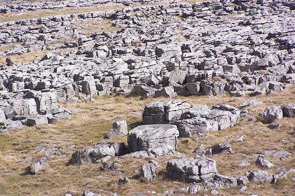
BNN53.jpg (taken 10.4.2007)
|
|
|
| evidence:- |
old map:- OS County Series (Wmd 22 10)
placename:- Great Asby Scar
placename:- Asby Scar, Great
|
| source data:- |
Maps, County Series maps of Great Britain, scales 6 and 25
inches to 1 mile, published by the Ordnance Survey, Southampton,
Hampshire, from about 1863 to 1948.
|
|
|
|
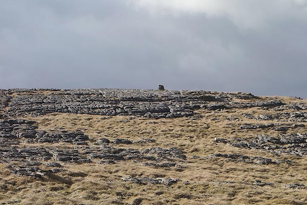
CCM45.jpg (taken 17.2.2015)
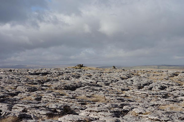
CCM46.jpg (taken 17.2.2015)
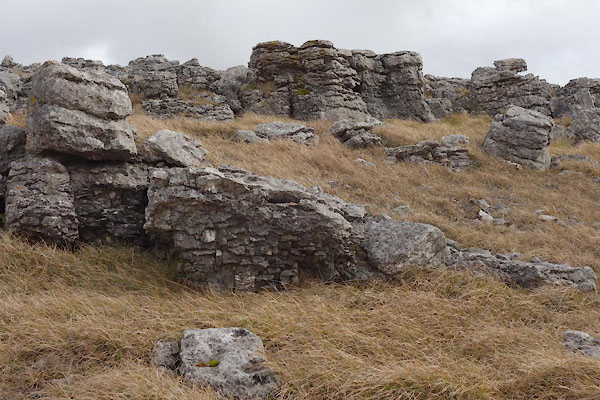
CCM57.jpg Limestone pavement,
(taken 17.2.2015)
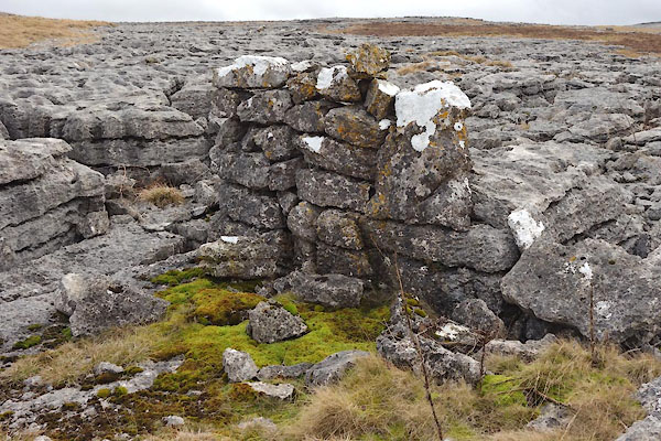
CCM58.jpg Limestone pavement,
and a shelter?
(taken 17.2.2015)

Click to enlarge
CCM60.jpg Limestone pavement,
(taken 17.2.2015)
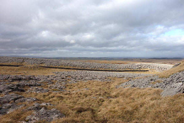
CCM63.jpg Limestone pavement,
(taken 17.2.2015)
|
|
|
|
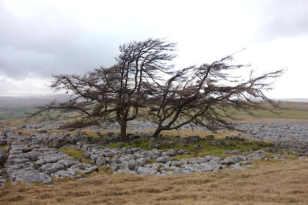
CCM67.jpg Tree.
(taken 17.2.2015)
|
|
|
|
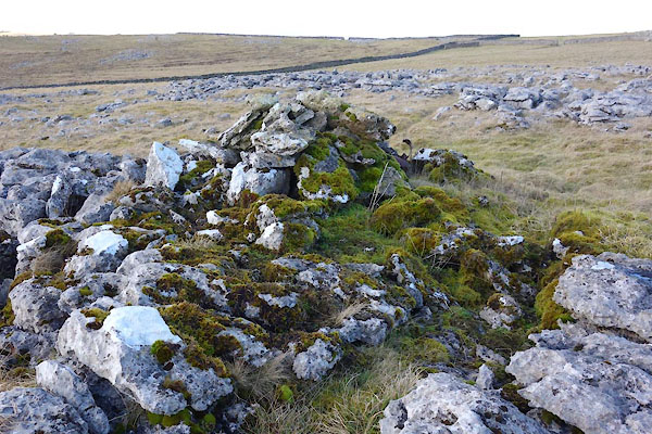
CCM36.jpg Cairn,
(taken 17.2.2015)

CCM42.jpg Cairn,
(taken 17.2.2015)
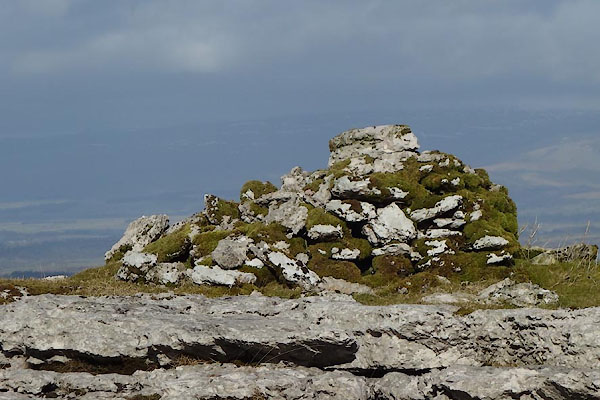
CCM43.jpg Cairn,
(taken 17.2.2015)
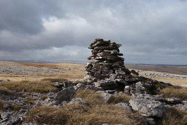
CCM47.jpg Cairn,
(taken 17.2.2015)
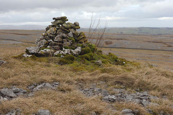
CCM59.jpg Cairn,
(taken 17.2.2015)
|
|
|
:-
|
Limestone pavements, landscape of clints, grikes and runnels, with galcial erratic
boulders of pink shap granite and red sandstone.
|
|
: 2004: Great Asby Scar: English Nature:: ISBN 1 85716 816 X; small leaflet
|
|
|


 Lakes Guides menu.