 Old Cumbria Gazetteer
 |
 |
|
| Gowk Hill, Martindale | ||
| Gowk Hill | ||
| locality:- | Martindale Common | |
| civil parish:- | Martindale (formerly Westmorland) | |
| county:- | Cumbria | |
| locality type:- | hill | |
| coordinates:- | NY44471670 (etc) | |
| 1Km square:- | NY4416 | |
| 10Km square:- | NY41 | |
| altitude:- | 1539 feet | |
| altitude:- | 469m | |
|
|
||
| evidence:- | old map:- OS County Series (Wmd 13 9) placename:- Gowk Hill |
|
| source data:- | Maps, County Series maps of Great Britain, scales 6 and 25
inches to 1 mile, published by the Ordnance Survey, Southampton,
Hampshire, from about 1863 to 1948. |
|
|
|
||
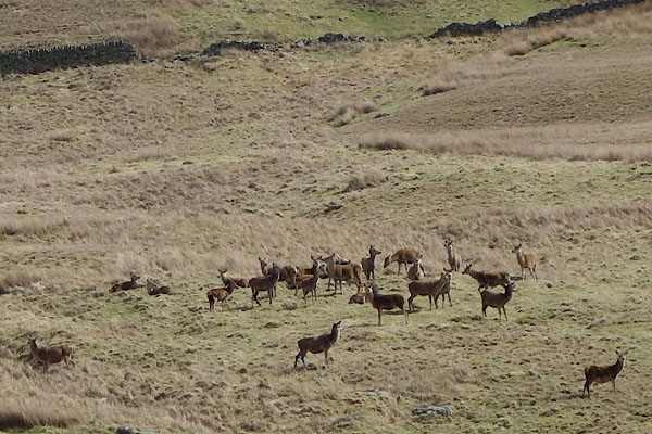 CCU99.jpg Red deer near Mere Beck. (taken 8.4.2015) 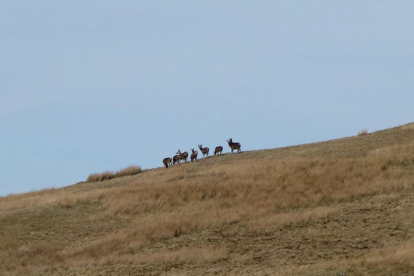 CCV03.jpg Red deer. (taken 8.4.2015) 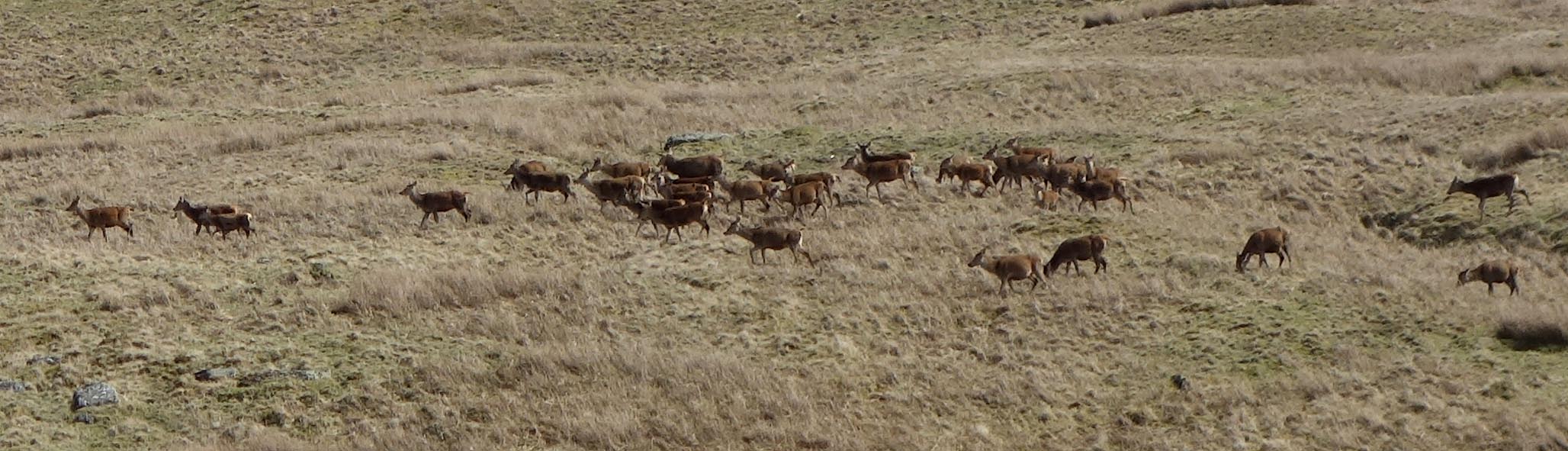 Click to enlarge CCV01.jpg Red deer near Mere Beck. (taken 8.4.2015) 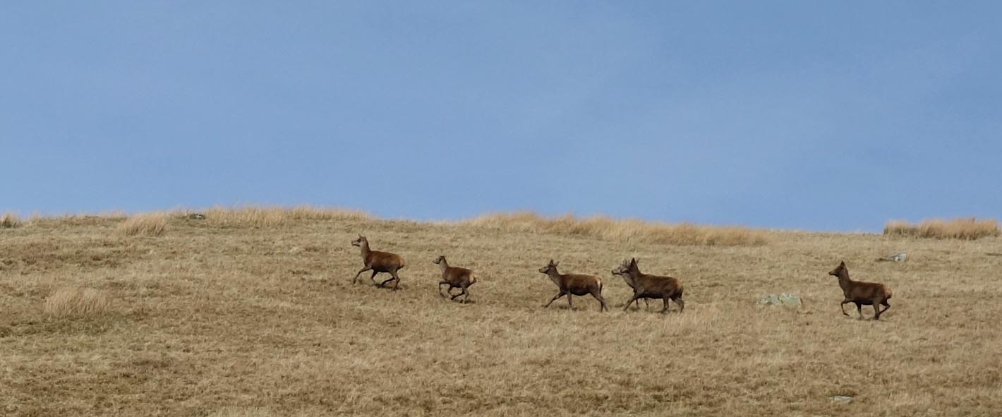 Click to enlarge CCV02.jpg Red deer. (taken 8.4.2015) |
||
|
|
||
 Lakes Guides menu.