Goosewell Farm, St John's Castlerigg etc | ||
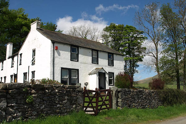
Goosewell Farm | ||
civil parish:- | St John's Castlerigg and Wythburn (formerly Cumberland) | |
county:- | Cumbria | |
locality type:- | buildings | |
coordinates:- | NY29452377 | |
1Km square:- | NY2923 | |
10Km square:- | NY22 | |
|
||
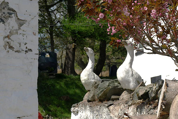
BYI89.jpg (taken 21.5.2013) BYI90.jpg Geese guarding the gate. (taken 21.5.2013) |
||
|
||
evidence:- | old map:- OS County Series (Cmd 64 3) placename:- Goose Well |
|
source data:- | Maps, County Series maps of Great Britain, scales 6 and 25
inches to 1 mile, published by the Ordnance Survey, Southampton,
Hampshire, from about 1863 to 1948. |
|
|
||
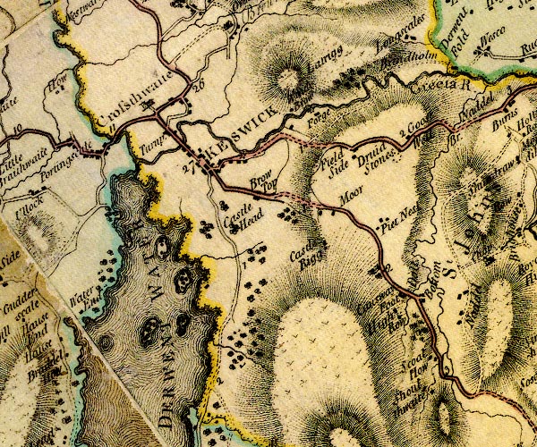
evidence:- | old map:- Donald 1774 (Cmd) placename:- Goose Well |
|
source data:- | Map, hand coloured engraving, 3x2 sheets, The County of Cumberland, scale about 1
inch to 1 mile, by Thomas Donald, engraved and published by Joseph Hodskinson, 29
Arundel Street, Strand, London, 1774. D4NY22SE.jpg "Goose Well" block or blocks, labelled in lowercase; a hamlet or just a house item:- Carlisle Library : Map 2 Image © Carlisle Library |
|
|
||
evidence:- | old text:- Clarke 1787 placename:- Coosewell |
|
source data:- | Guide book, A Survey of the Lakes of Cumberland, Westmorland,
and Lancashire, written and published by James Clarke, Penrith,
Cumberland, and in London etc, 1787; published 1787-93. goto source Page 61:- "..." "Now ascend the hill to Coose-well; the road is bad, but the prospect is truly beautiful, and exhibits such a mixture of the romantic, with plenty and cultivation, as perhaps the whole island can hardly parallel. We have a beautiful view of St John's Vale on the South, and all round there is endless variety of objects: beautiful meadows intersected with large, pellucid streams of water; cottages built with the utmost neatness, every one being covered with white slate, and the window and door-frames made of red free-stone, and the walls limed over and white-washed; which, though it may hurt the eye of a professed connoisseur, always gives an idea of cleanliness." |
|
|