 Old Cumbria Gazetteer
 |
 |
|
| Goat Crag, St John's Castlerigg etc | ||
| Goat Crag | ||
| locality:- | Castlerigg Fell | |
| civil parish:- | St John's Castlerigg and Wythburn (formerly Cumberland) | |
| county:- | Cumbria | |
| locality type:- | rocks | |
| coordinates:- | NY29331988 (etc) | |
| 1Km square:- | NY2919 | |
| 10Km square:- | NY21 | |
|
|
||
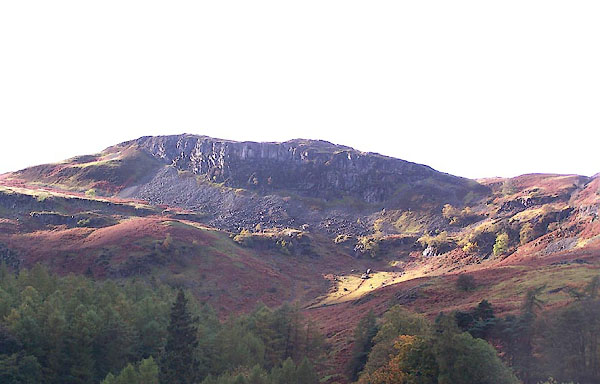 BMX20.jpg (taken 23.10.2006) 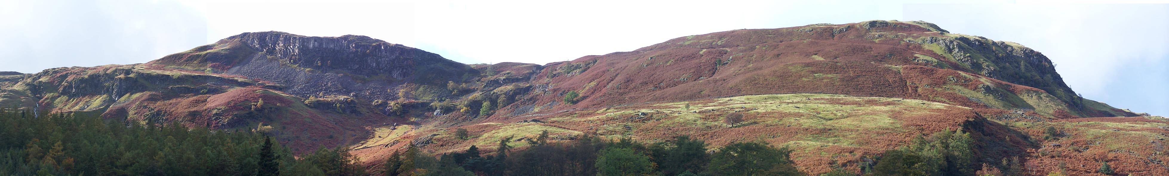 Click to enlarge BMX19.jpg Goat Crag and Dodd Crag. (taken 23.10.2006) |
||
|
|
||
| evidence:- | old map:- OS County Series (Cmd 64 15) placename:- Goat Crag |
|
| source data:- | Maps, County Series maps of Great Britain, scales 6 and 25
inches to 1 mile, published by the Ordnance Survey, Southampton,
Hampshire, from about 1863 to 1948. |
|
|
|
||
 Lakes Guides menu.