Old Cumbria Gazetteer
 |
 |
|
||
| Glenridding Beck | ||||
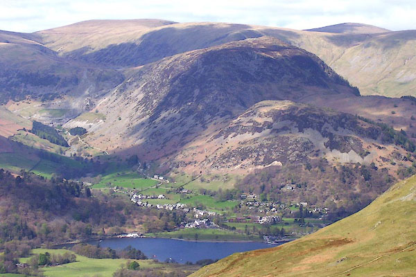
| runs into:- |  Ullswater Ullswater |
|||
|
|
||||
| locality:- | Glenridding | |||
| civil parish:- | Patterdale (formerly Westmorland) | |||
| county:- | Cumbria | |||
| locality type:- | river | |||
| coordinates:- | NY35971603 (etc) | |||
| 1Km square:- | NY3516 | |||
| 10Km square:- | NY31 | |||
|
|
||||
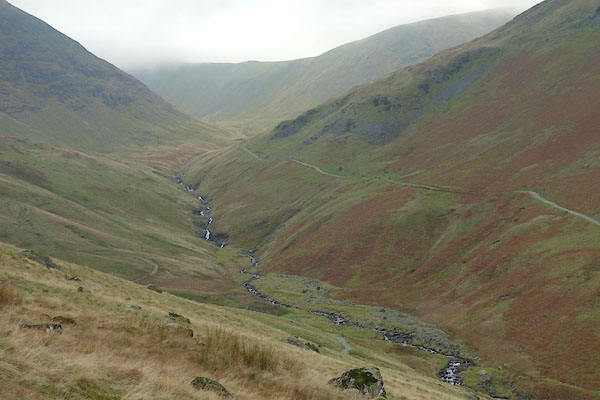
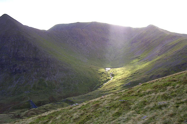 BOH56.jpg Glenridding Beck flowing out of a tarn in Brown Cove. (taken 17.10.2007) 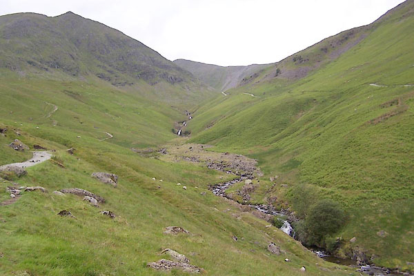 BUV15.jpg (taken 20.6.2011) |
||||
|
|
||||
| evidence:- | old map:- OS County Series (Wmd 12 10) placename:- Glenridding Beck |
|||
| source data:- | Maps, County Series maps of Great Britain, scales 6 and 25
inches to 1 mile, published by the Ordnance Survey, Southampton,
Hampshire, from about 1863 to 1948. |
|||
|
|
||||
| evidence:- | old map:- OS County Series placename:- Glenridding Beck |
|||
| source data:- | Maps, County Series maps of Great Britain, scales 6 and 25
inches to 1 mile, published by the Ordnance Survey, Southampton,
Hampshire, from about 1863 to 1948. "Glenridding Beck" |
|||
|
|
||||
| evidence:- | old map:- Saxton 1579 placename:- Glenkroden Flu. |
|||
| source data:- | Map, hand coloured engraving, Westmorlandiae et Cumberlandiae Comitatus ie Westmorland
and Cumberland, scale about 5 miles to 1 inch, by Christopher Saxton, London, engraved
by Augustinus Ryther, 1576, published 1579-1645.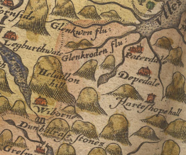 Sax9NY31.jpg "Glenkroden flu:" item:- private collection : 2 Image © see bottom of page |
|||
|
|
||||
| evidence:- | old map:- Speed 1611 (Cmd) placename:- Glenkrodn flu. |
|||
| source data:- | Map, hand coloured engraving, Cumberland and the Ancient Citie
Carlile Described, scale about 4 miles to 1 inch, by John Speed,
1610, published by J Sudbury and George Humble, Popes Head
Alley, London, 1611-12.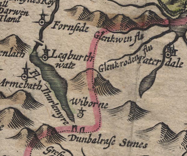 SP11NY31.jpg "Glenkrodn flu" wiggly line; Westmorland item:- private collection : 16 Image © see bottom of page |
|||
|
|
||||
| evidence:- | old map:- Speed 1611 (Wmd) placename:- Glenkrode flud |
|||
| source data:- | Map, hand coloured engraving, The Countie Westmorland and
Kendale the Cheif Towne, scale about 2.5 miles to 1 inch, by
John Speed, 1610, published by George Humble, Popes Head Alley,
London, 1611-12.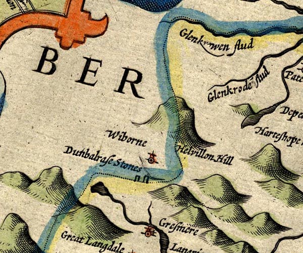 SP14NY31.jpg "Glenkrode flud" double line  SP14NY41.jpg double line, into Ullswater item:- Armitt Library : 2008.14.5 Image © see bottom of page |
|||
|
|
||||
| evidence:- | old map:- Drayton 1612/1622 placename:- Glenkroden Flu. |
|||
| source data:- | Map, hand coloured engraving, Cumberlande and Westmorlande, by
Michael Drayton, probably engraved by William Hole, scale about
4 or 5 miles to 1 inch, published by John Mariott, John
Grismand, and Thomas Dewe, London, 1622.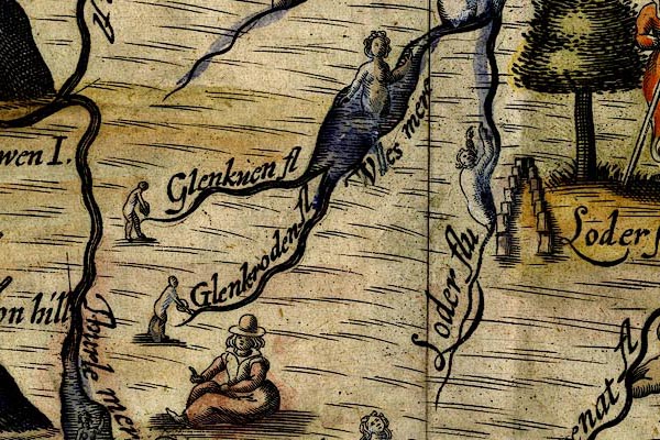 DRY515.jpg "Glenkroden fl" River, naiad pouring out water. item:- JandMN : 168 Image © see bottom of page |
|||
|
|
||||
| evidence:- | old map:- Jansson 1646 placename:- Glenkroden Flud |
|||
| source data:- | Map, hand coloured engraving, Cumbria and Westmoria, ie
Cumberland and Westmorland, scale about 3.5 miles to 1 inch, by
John Jansson, Amsterdam, Netherlands, 1646.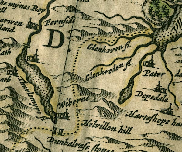 JAN3NY31.jpg "Glenkroden fl." Single wiggly line. item:- JandMN : 88 Image © see bottom of page |
|||
|
|
||||
| evidence:- | old map:- Morden 1695 (Cmd) placename:- Glenkroden River |
|||
| source data:- | Map, uncoloured engraving, Cumberland, scale about 4 miles to 1
inch, by Robert Morden, 1695, published by Abel Swale, the
Unicorn, St Paul's Churchyard, Awnsham, and John Churchill, the
Black Swan, Paternoster Row, London, 1695-1715.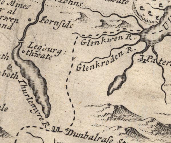 MD12NY31.jpg "Glenkroden R." item:- JandMN : 90 Image © see bottom of page |
|||
|
|
||||
| evidence:- | old map:- Morden 1695 (Wmd) placename:- Glenkridden Flu. |
|||
| source data:- | Map, hand coloured engraving, Westmorland, scale about 2.5 miles to 1 inch, by Robert
Morden, published by Abel Swale, the Unicorn, St Paul's Churchyard, Awnsham, and John
Churchill, the Black Swan, Paternoster Row, London, 1695.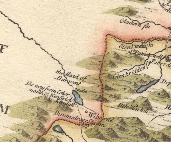 MD10NY31.jpg "Glenkridden flu" item:- JandMN : 24 Image © see bottom of page |
|||
|
|
||||
| evidence:- | probably old map:- Simpson 1746 map (Wmd) placename:- Glenke River |
|||
| source data:- | Map, uncoloured engraving, Westmorland, scale about 8 miles to 1
inch, printed by R Walker, Fleet Lane, London, 1746. SMP2NYF.jpg "Glenke R" Wiggly line; into Ullswater; shown as county boundary with Cumberland. item:- Dove Cottage : 2007.38.59 Image © see bottom of page |
|||
|
|
||||
| evidence:- | perhaps old map:- Bowen and Kitchin 1760 |
|||
| source data:- | Map, hand coloured engraving, A New Map of the Counties of
Cumberland and Westmoreland Divided into their Respective Wards,
scale about 4 miles to 1 inch, by Emanuel Bowen and Thomas
Kitchin et al, published by T Bowles, Robert Sayer, and John
Bowles, London, 1760.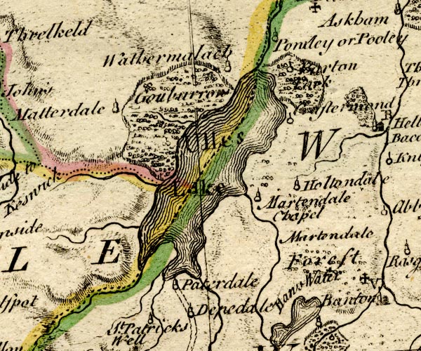 BO18NY31.jpg wiggly line, into Ullswater, county boundary Westmorland Cumberland item:- Armitt Library : 2008.14.10 Image © see bottom of page |
|||
|
|
||||
| evidence:- | old map:- Jefferys 1770 (Wmd) |
|||
| source data:- | Map, 4 sheets, The County of Westmoreland, scale 1 inch to 1
mile, surveyed 1768, and engraved and published by Thomas
Jefferys, London, 1770.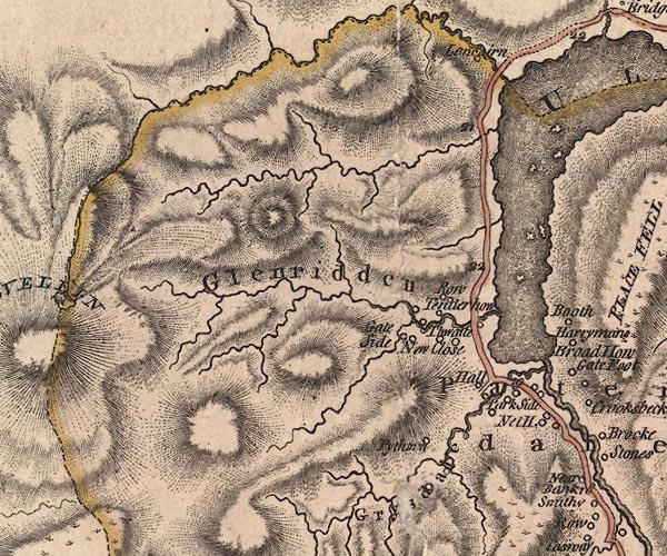 J5NY31NE.jpg single or double wiggly line; river item:- National Library of Scotland : EME.s.47 Image © National Library of Scotland |
|||
|
|
||||
| evidence:- | old map:- Donald 1774 (Cmd) |
|||
| source data:- | Map, hand coloured engraving, 3x2 sheets, The County of Cumberland, scale about 1
inch to 1 mile, by Thomas Donald, engraved and published by Joseph Hodskinson, 29
Arundel Street, Strand, London, 1774.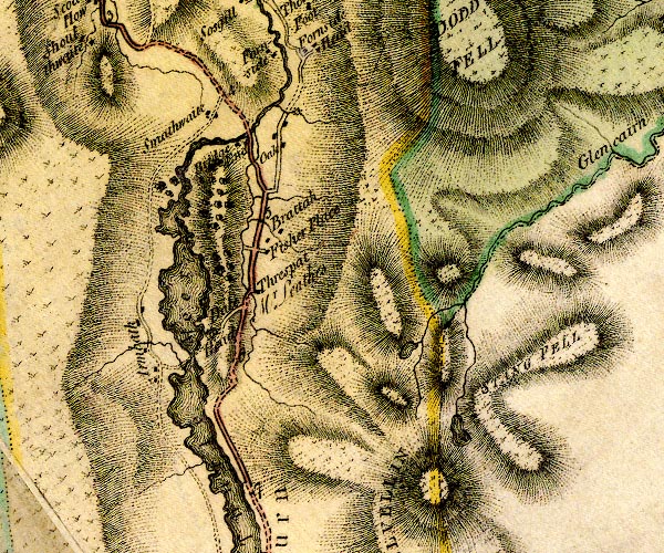 D4NY31NW.jpg single or double wiggly line; a river item:- Carlisle Library : Map 2 Image © Carlisle Library |
|||
|
|
||||
| evidence:- | old map:- Crosthwaite 1783-94 (Ull) |
|||
| source data:- | Map, uncoloured engraving, Accurate Map of the Beautiful Lake of
Ullswater, scale about 3 inches to 1 mile, by Peter Crosthwaite,
Keswick, Cumberland, 1783, version published 1800.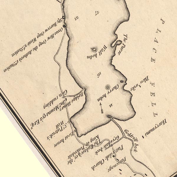 CT5NY31Y.jpg item:- Armitt Library : 1959.191.7 Image © see bottom of page |
|||
|
|
||||
| evidence:- | old map:- West 1784 map |
|||
| source data:- | Map, hand coloured engraving, A Map of the Lakes in Cumberland,
Westmorland and Lancashire, scale about 3.5 miles to 1 inch,
engraved by Paas, 53 Holborn, London, about 1784.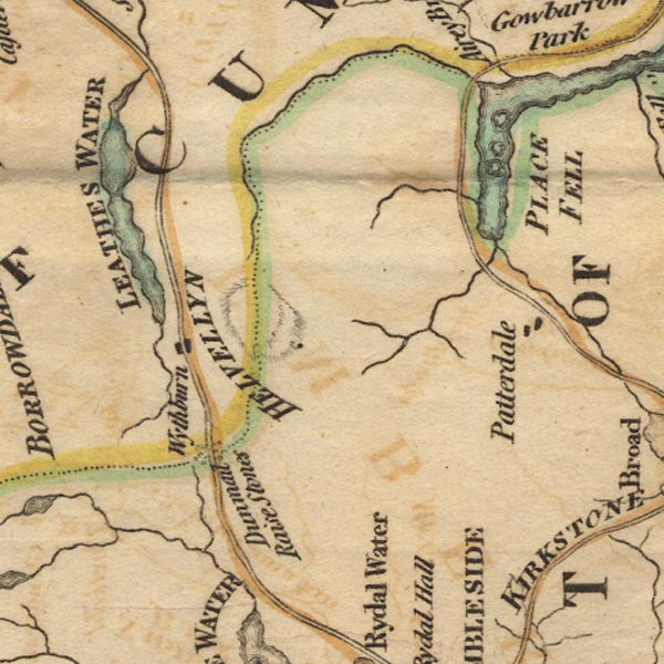 Ws02NY31.jpg item:- Armitt Library : A1221.1 Image © see bottom of page |
|||
|
|
||||
| evidence:- | old map:- Clarke 1787 map (Ullswater) placename:- Glenridding Beck |
|||
| source data:- | Map, A Map of the Lake Ullswater and its Environs, scale about
6.5 ins to 1 mile, by James Clarke, engraved by S J Neele, 352
Strand, published by James Clarke, Penrith, Cumberland and in
London etc, 1787.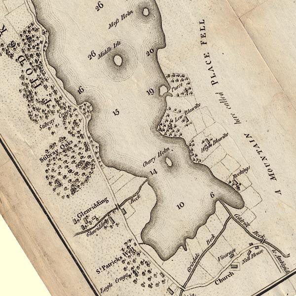 CL4NY31Y.jpg "Glenridding Beck" item:- private collection : 10.4 Image © see bottom of page |
|||
|
|
||||
| evidence:- | old map:- Cary 1789 (edn 1805) |
|||
| source data:- | Map, uncoloured engraving, Westmoreland, scale about 2.5 miles
to 1 inch, by John Cary, London, 1789; edition 1805. CY24NY31.jpg river running into Ullswater item:- JandMN : 129 Image © see bottom of page |
|||
|
|
||||
| evidence:- | old text:- Wordsworth 1810 |
|||
| source data:- | Guide book, A Description of the Scenery of the Lakes, later A
Guide through the District of The Lakes, by William Wordsworth,
1810-35. goto source page xx "... at Glenridding Bridge, a fourth stream is crossed." "... and the Stream, if followed up after the enclosures are left behind, will lead along bold water-breaks and waterfalls to a silent Tarn in the recesses of Helvellyn. ..." |
|||
|
|
||||
| evidence:- | old map:- Garnett 1850s-60s H |
|||
| source data:- | Map of the English Lakes, in Cumberland, Westmorland and
Lancashire, scale about 3.5 miles to 1 inch, published by John
Garnett, Windermere, Westmorland, 1850s-60s. GAR2NY31.jpg wiggly line, river item:- JandMN : 82.1 Image © see bottom of page |
|||
|
|
||||
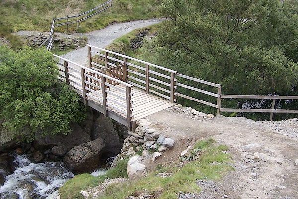
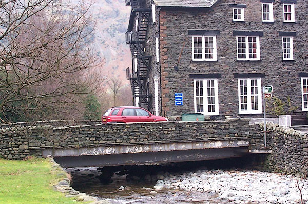
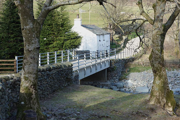
 CCD09.jpg (taken 18.11.2014) 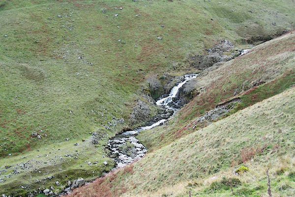 BVN99.jpg (taken 19.10.2011) 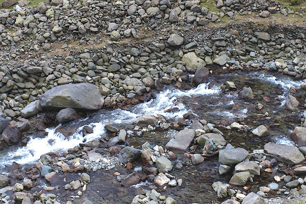 BOV11.jpg From Greenside Road. (taken 17.3.2008) 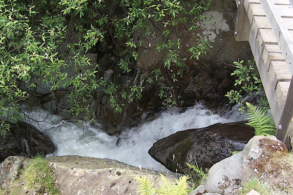 BUV18.jpg At footbridge, (taken 20.6.2011) 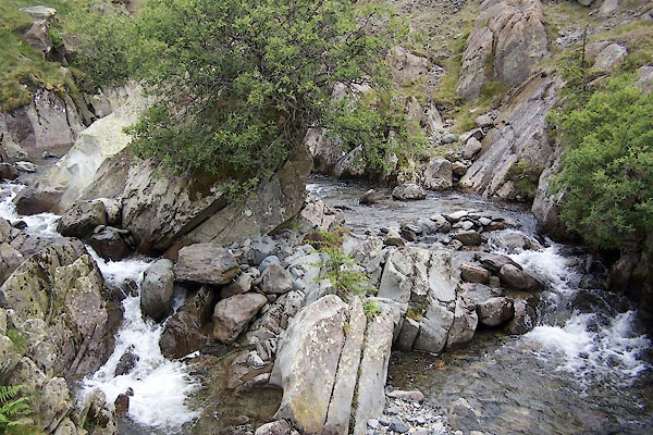 BUV19.jpg At footbridge, (taken 20.6.2011) 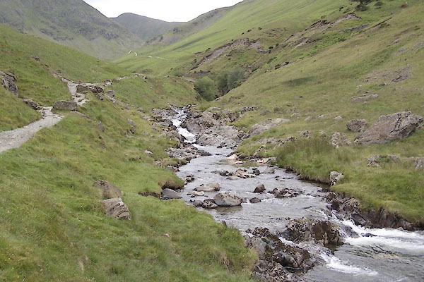 BUV20.jpg At footbridge, (taken 20.6.2011) 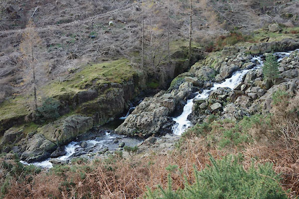 CCC79.jpg (taken 18.11.2014) 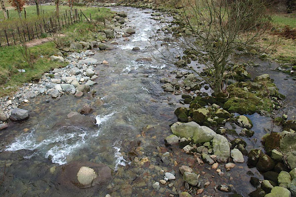 BOV08.jpg Below Rattlebeck Bridge. (taken 17.3.2008) |
||||
|
|
||||
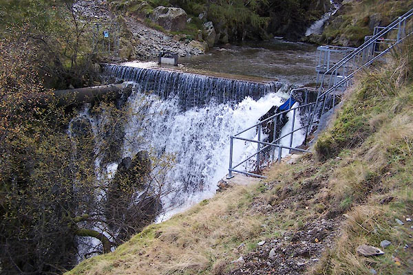
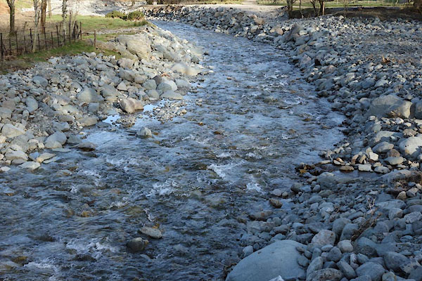 CET68.jpg Below Rattlebeck Bridge, (taken 14.3.2016) 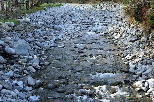 CET67.jpg Above Rattlebeck Bridge, (taken 14.3.2016) |
||||
| The river bed shows the results of the flood in December 2015, from the heavy rainfall
of Storm Desmond. |
||||
|
|
||||
| places:- |
|
|||
|
||||
|
||||
|
||||
|
||||
Lakes Guides menu.