 |
 |
   |
|
|
| runs into:- |
 Greta, River Greta, River |
|
|
|
|
| civil parish:- |
Underskiddaw (formerly Cumberland) |
| civil parish:- |
Threlkeld (formerly Cumberland) |
| county:- |
Cumbria |
| locality type:- |
river |
| locality type:- |
boundary |
| locality type:- |
parish boundary |
| 1Km square:- |
NY2926 (etc) |
| 10Km square:- |
NY22 |
|
|
|
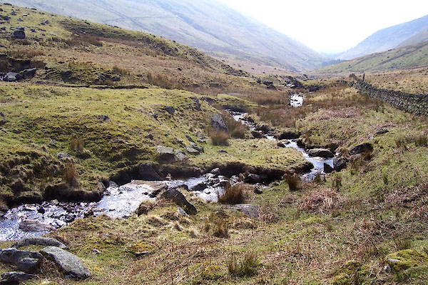
BPC16.jpg (taken 22.4.2008)
|
|
|
| evidence:- |
old map:- OS County Series (Cmd 56 15)
placename:- Glenderaterra Beck
|
| source data:- |
Maps, County Series maps of Great Britain, scales 6 and 25
inches to 1 mile, published by the Ordnance Survey, Southampton,
Hampshire, from about 1863 to 1948.
|
|
|
| evidence:- |
old map:- Bowen and Kitchin 1760
|
| source data:- |
Map, hand coloured engraving, A New Map of the Counties of
Cumberland and Westmoreland Divided into their Respective Wards,
scale about 4 miles to 1 inch, by Emanuel Bowen and Thomas
Kitchin et al, published by T Bowles, Robert Sayer, and John
Bowles, London, 1760.
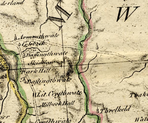
BO18NY22.jpg
wiggly line, into the Greta
item:- Armitt Library : 2008.14.10
Image © see bottom of page
|
|
|
| evidence:- |
old map:- Donald 1774 (Cmd)
placename:- Glenderaterra
|
| source data:- |
Map, hand coloured engraving, 3x2 sheets, The County of Cumberland, scale about 1
inch to 1 mile, by Thomas Donald, engraved and published by Joseph Hodskinson, 29
Arundel Street, Strand, London, 1774.
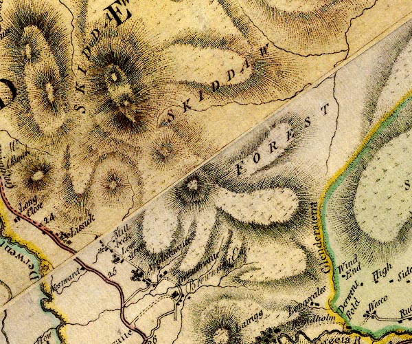
D4NY22NE.jpg
"Glenderaterra"
single or double wiggly line; a river
item:- Carlisle Library : Map 2
Image © Carlisle Library |
|
|
| evidence:- |
descriptive text:- West 1778 (11th edn 1821)
|
| source data:- |
Guide book, A Guide to the Lakes, by Thomas West, published by
William Pennington, Kendal, Cumbria once Westmorland, and in
London, 1778 to 1821.
 goto source goto source
Page 109:- "... the precipitous bank of a brawling brook, Glenderaterra-beck, that is heard tumbling
from the mountains, and concealed by the woods that hang on its steep banks. ..."
"..."
 goto source goto source
Page 110:- "... [from the front of Mr. Wren's house] A river is seen on both sides of the vale,
lengthening its course in meanders, till it meets Threlkeld-water, or Glenderamackin-beck,
at New-bridge, where it takes the name of Greeta. ..."
|
|
|
| evidence:- |
old map:- West 1784 map
placename:- Glenderatera
|
| source data:- |
Map, hand coloured engraving, A Map of the Lakes in Cumberland,
Westmorland and Lancashire, scale about 3.5 miles to 1 inch,
engraved by Paas, 53 Holborn, London, about 1784.
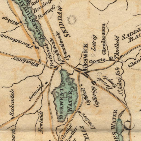
Ws02NY22.jpg
item:- Armitt Library : A1221.1
Image © see bottom of page
|
|
|
| evidence:- |
old text:- Clarke 1787
placename:- Glendoweratera
|
| source data:- |
Guide book, A Survey of the Lakes of Cumberland, Westmorland,
and Lancashire, written and published by James Clarke, Penrith,
Cumberland, and in London etc, 1787; published 1787-93.
 goto source goto source
Page 62:- "... the river Greeta, which contains the waters of ... Glendoweratera ..."
|
|
|
| places:- |
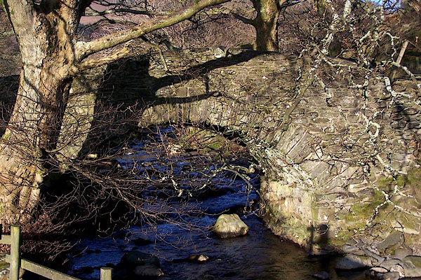 |
NY29892475 bridge, Brundholme (Threlkeld / Underskiddaw) |
|


 Greta, River


 goto source
 goto source
 goto source
