Old Cumbria Gazetteer
 |
 |
|
||
| Gilpin, River | ||||
| runs into:- |  Kent, River Kent, River |
|||
|
|
||||
| locality:- | Lyth Valley | |||
| civil parish:- | Crosthwaite and Lyth (formerly Westmorland) | |||
| civil parish:- | Crook (formerly Westmorland) | |||
| county:- | Cumbria | |||
| locality type:- | river | |||
| 1Km square:- | SD4490 (etc) | |||
| 10Km square:- | SD49 | |||
| civil parish:- | Crosthwaite and Lyth (formerly Westmorland) | |||
| civil parish:- | Levens (formerly Westmorland) | |||
| county:- | Cumbria | |||
| locality type:- | river | |||
| 10Km square:- | SD48 | |||
| SummaryText:- | The Gilpin is the main river in the Lyth Valley. | |||
|
|
||||
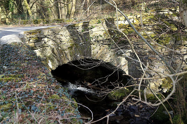
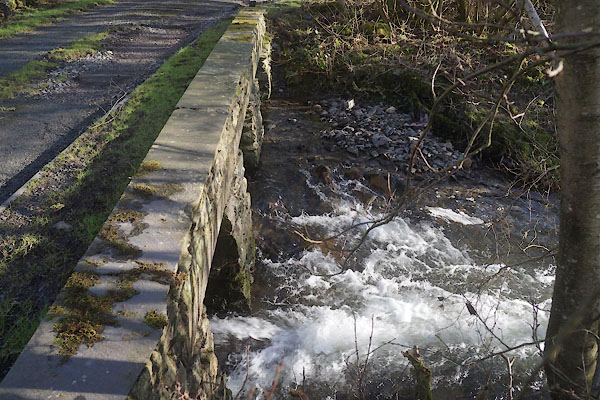
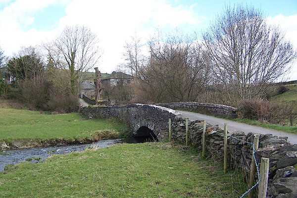
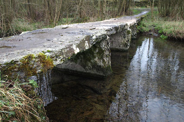
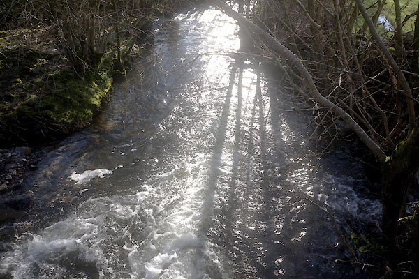
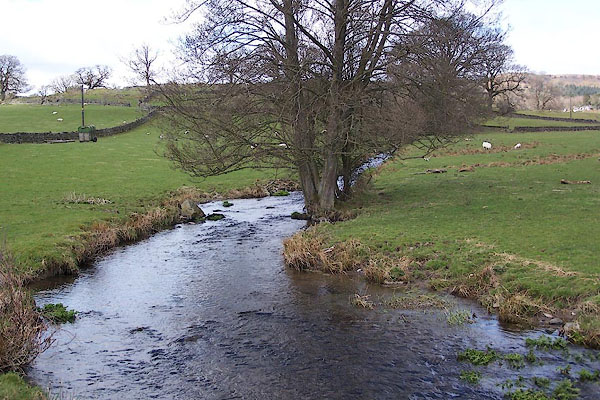 BLW16.jpg (taken 16.4.2006) 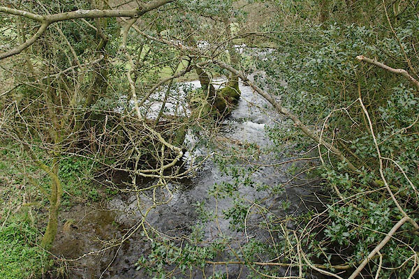 BSL99.jpg At the bridge, (taken 9.4.2010) |
||||
|
|
||||
| evidence:- | old map:- OS County Series (Wmd 42 2) placename:- Gilpin, River |
|||
| source data:- | Maps, County Series maps of Great Britain, scales 6 and 25
inches to 1 mile, published by the Ordnance Survey, Southampton,
Hampshire, from about 1863 to 1948. OS County Series (Wmd 42 6) |
|||
|
|
||||
| evidence:- | old map:- Jefferys 1770 (Wmd) |
|||
| source data:- | Map, 4 sheets, The County of Westmoreland, scale 1 inch to 1
mile, surveyed 1768, and engraved and published by Thomas
Jefferys, London, 1770.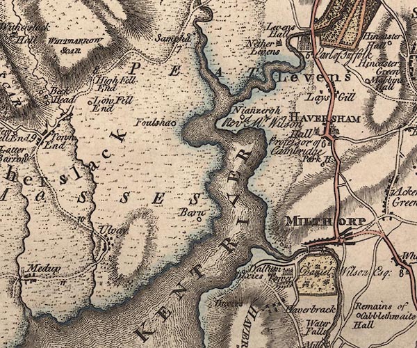 J5SD48SE.jpg single or double wiggly line; river item:- National Library of Scotland : EME.s.47 Image © National Library of Scotland |
|||
|
|
||||
| evidence:- | old map:- West 1784 map |
|||
| source data:- | Map, hand coloured engraving, A Map of the Lakes in Cumberland,
Westmorland and Lancashire, scale about 3.5 miles to 1 inch,
engraved by Paas, 53 Holborn, London, about 1784.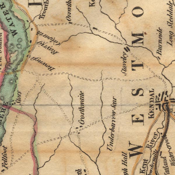 Ws02SD49.jpg 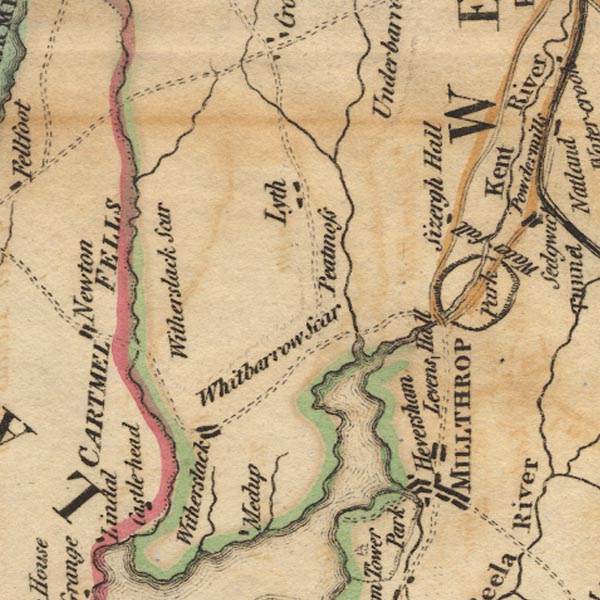 Ws02SD48.jpg item:- Armitt Library : A1221.1 Image © see bottom of page |
|||
|
|
||||
| evidence:- | old map:- Cary 1789 (edn 1805) |
|||
| source data:- | Map, uncoloured engraving, Westmoreland, scale about 2.5 miles
to 1 inch, by John Cary, London, 1789; edition 1805.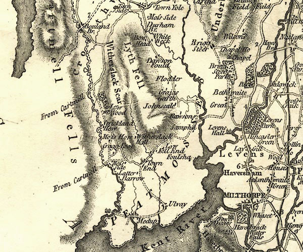 CY24SD48.jpg river running into the Kent item:- JandMN : 129 Image © see bottom of page |
|||
|
|
||||
| evidence:- | old map:- Cooper 1808 |
|||
| source data:- | Map, hand coloured engraving, Westmoreland ie Westmorland, scale
about 9 miles to 1 inch, by H Cooper, 1808, published by R
Phillips, Bridge Street, Blackfriars, London, 1808. click to enlarge click to enlargeCOP4.jpg tapering wiggly line; river item:- Dove Cottage : 2007.38.53 Image © see bottom of page |
|||
|
|
||||
| evidence:- | old map:- Otley 1818 |
|||
| source data:- | Map, uncoloured engraving, The District of the Lakes,
Cumberland, Westmorland, and Lancashire, scale about 4 miles to
1 inch, by Jonathan Otley, 1818, engraved by J and G Menzies,
Edinburgh, Scotland, published by Jonathan Otley, Keswick,
Cumberland, et al, 1833.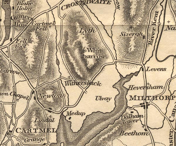 OT02SD48.jpg item:- JandMN : 48.1 Image © see bottom of page |
|||
|
|
||||
| evidence:- | old map:- Garnett 1850s-60s H |
|||
| source data:- | Map of the English Lakes, in Cumberland, Westmorland and
Lancashire, scale about 3.5 miles to 1 inch, published by John
Garnett, Windermere, Westmorland, 1850s-60s.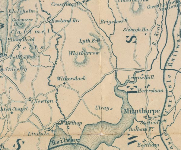 GAR2SD48.jpg wiggly line, river item:- JandMN : 82.1 Image © see bottom of page |
|||
|
|
||||
| evidence:- | old map:- Postlethwaite 1877 (3rd edn 1913) placename:- Gilpin, River |
|||
| source data:- | Map, uncoloured engraving, Map of the Lake District Mining Field, Westmorland, Cumberland,
Lancashire, scale about 5 miles to 1 inch, by John Postlethwaite, published by W H
Moss and Sons, 13 Lowther Street, Whitehaven, Cumberland, 1877 edn 1913.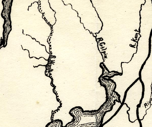 PST2SD48.jpg "R. Gilpin." wiggly line, running into Kent Estuary item:- JandMN : 162.2 Image © see bottom of page |
|||
|
|
||||
| evidence:- | old print:- Rose 1832-35 (vol.3 no.69) |
|||
| source data:- | Print, uncoloured engraving, Scout Scar, near Kendal, Westmorland, drawn by Thomas
Allom, engraved by T H Shepherd, published by Fisher, Son and Co, London, 1835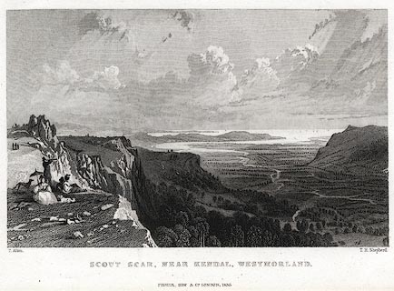 click to enlarge click to enlargePR0422.jpg Originally vol.3 no.69 in Westmorland, Cumberland, Durham and Northumberland Illustrated. printed at bottom left, right, centre:- "T. Allom. / T. H. Shepherd. / SCOUT SCAR, NEAR KENDAL, WESTMORLAND. / FISHER, SON &Co. LONDON, 1835." item:- Dove Cottage : 2008.107.415 Image © see bottom of page |
|||
|
|
||||
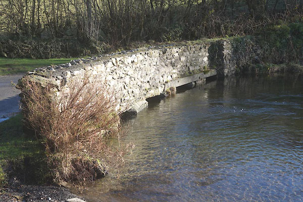
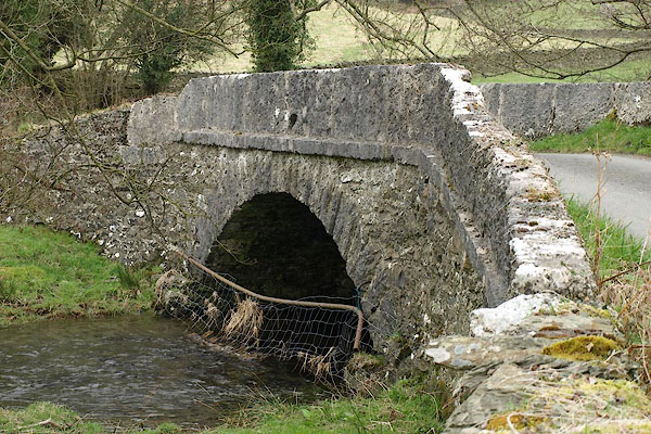
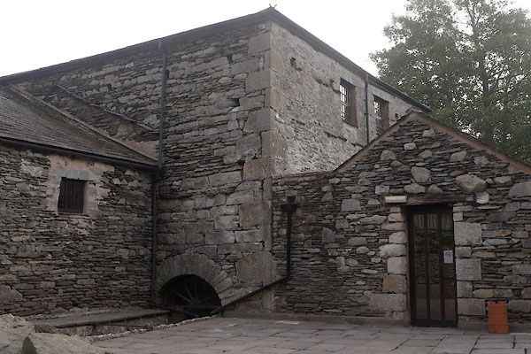
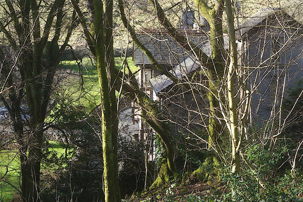
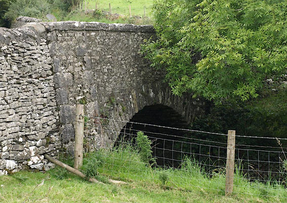
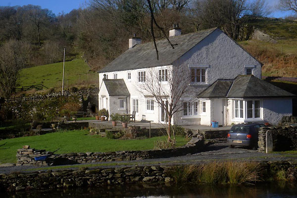
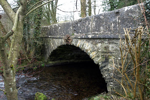
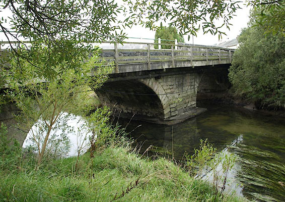
 CEO05.jpg bridge near Bridge House, (taken 10.2.2016) 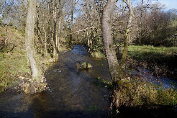 CEO08.jpg Above Gilpin Mill dam, (taken 10.2.2016) 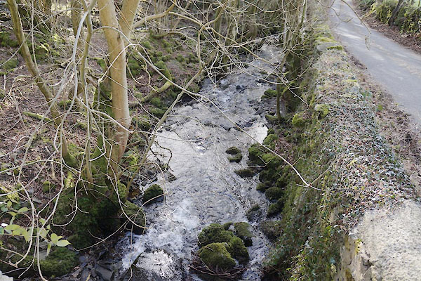 CCH44.jpg Below Gilpin Bridge, (taken 18.9.2009) 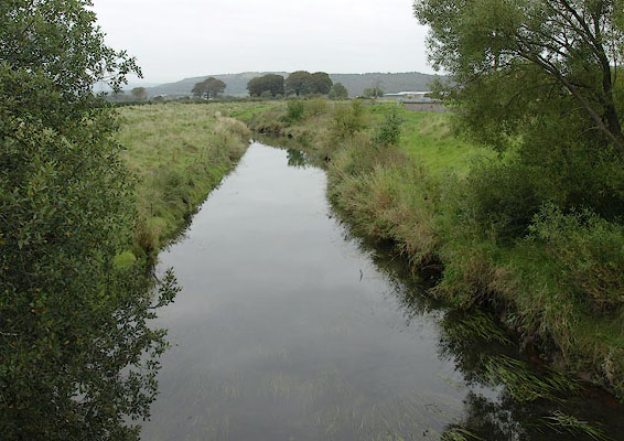 BRL13.jpg At Sampool Bridge. (taken 18.9.2009) 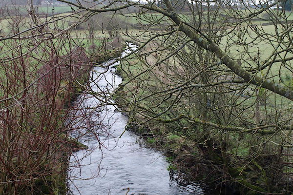 BWB99.jpg At Lordsl Bridge. (taken 16.3.2012) |
||||
|
|
||||
| mapping:- | ||||
|
|
||||
| places:- |
|
|||
|
||||
|
||||
|
||||
|
||||
|
||||
|
||||
|
||||
|
||||
|
||||
|
||||
|
||||
|
||||
|
||||
Lakes Guides menu.