 Old Cumbria Gazetteer
 |
 |
|
| Gasgale Crags, Buttermere | ||
| Gasgale Crags | ||
| civil parish:- | Buttermere (formerly Cumberland) | |
| county:- | Cumbria | |
| locality type:- | rocks | |
| coordinates:- | NY173218 (etc) | |
| 1Km square:- | NY1721 | |
| 10Km square:- | NY12 | |
|
|
||
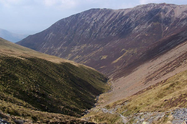 BUH33.jpg (taken 28.3.2011) 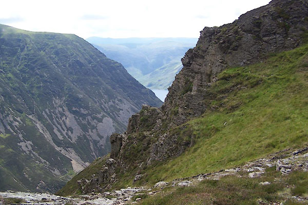 BXC49.jpg (taken 8.8.2012) |
||
|
|
||
| evidence:- | old map:- OS County Series (Cmd 63 10) placename:- Gasgale Crags |
|
| source data:- | Maps, County Series maps of Great Britain, scales 6 and 25
inches to 1 mile, published by the Ordnance Survey, Southampton,
Hampshire, from about 1863 to 1948. |
|
|
|
||
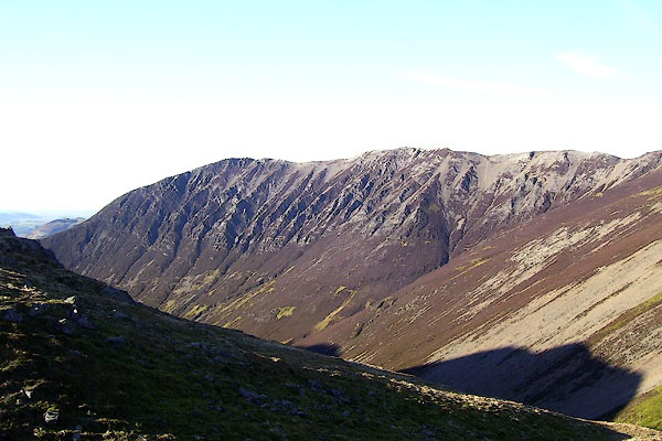 BOR78.jpg (taken 13.2.2008) |
||
|
|
||
 Lakes Guides menu.