 Old Cumbria Gazetteer
 |
 |
|
| Gamelands, Orton S | ||
| Gamelands | ||
| Orton Stone Circle | ||
| civil parish:- | Orton S (formerly Westmorland) | |
| county:- | Cumbria | |
| locality type:- | stone circle | |
| coordinates:- | NY64000817 | |
| 1Km square:- | NY6408 | |
| 10Km square:- | NY60 | |
| altitude:- | 869 feet | |
| altitude:- | 265m | |
|
|
||
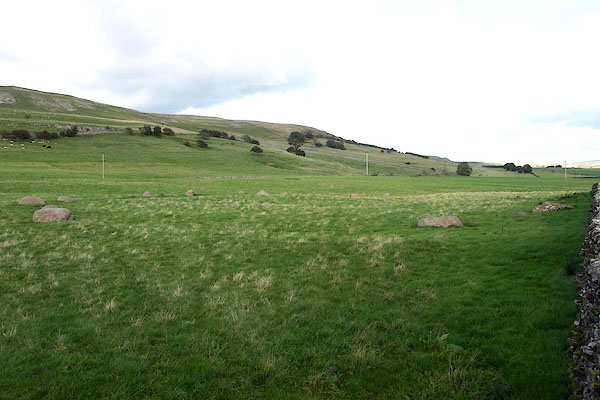 BPR83.jpg (taken 3.10.2008) 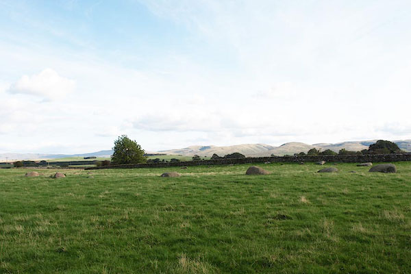 BPR84.jpg (taken 3.10.2008) |
||
|
|
||
| evidence:- | old map:- OS County Series (Wmd 22 13) placename:- Gamelands |
|
| source data:- | Maps, County Series maps of Great Britain, scales 6 and 25
inches to 1 mile, published by the Ordnance Survey, Southampton,
Hampshire, from about 1863 to 1948. |
|
|
|
||
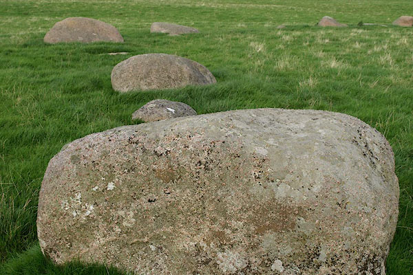 BPR85.jpg A boulder, ?glacial erratic. (taken 3.10.2008) 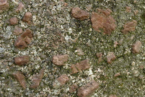 BPR86.jpg A boulder, bits of ?granite embedded in ? (taken 3.10.2008) |
||
|
|
||
| hearsay:- |
40 stones left in a ring 44.4x38.8m, Shap granite except one .limestone |
|
| Flatenned circle Thom type A. |
||
| Waterhouse, John: 1985: Stone Circles of Cumbria: Phillimore and Co (Chichester, Sussex)::
ISBN 0 85033 566 3 Thom, A: 1967: Megalithic Sites in Britain: Oxford University Press (Oxford, Oxfordshire) Ferguson, R S: 1883:: TWCAAS: vol.6: pp.183 Burl, H A W: 1976: Stone Circles of the British Isles: Yale University Press (United States) |
||
|
|
||
 Lakes Guides menu.