 |
 |
|
|
|
|
Gaitsgill |
|
Gatesgill |
| civil parish:- |
Dalston (formerly Cumberland) |
| county:- |
Cumbria |
| locality type:- |
locality |
| locality type:- |
buildings |
| coordinates:- |
NY38814676 (etc) |
| 1Km square:- |
NY3846 |
| 10Km square:- |
NY34 |
|
|
|
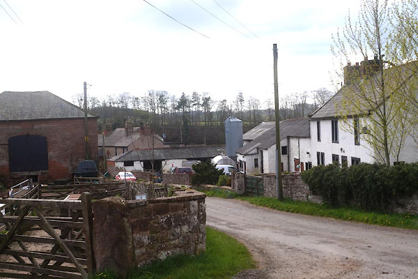
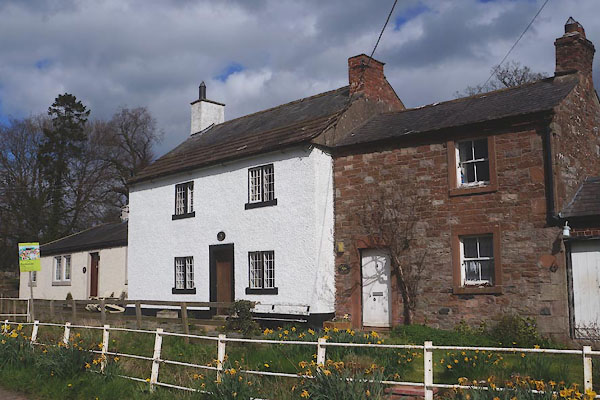
CEX84.jpg (taken 22.4.2016)
|
|
|
| evidence:- |
old map:- OS County Series (Cmd 30)
placename:- Gatesgill
|
| source data:- |
Maps, County Series maps of Great Britain, scales 6 and 25
inches to 1 mile, published by the Ordnance Survey, Southampton,
Hampshire, from about 1863 to 1948.
|
|
|
| evidence:- |
old map:- Donald 1774 (Cmd)
placename:- Gatesgill
|
| source data:- |
Map, hand coloured engraving, 3x2 sheets, The County of Cumberland, scale about 1
inch to 1 mile, by Thomas Donald, engraved and published by Joseph Hodskinson, 29
Arundel Street, Strand, London, 1774.
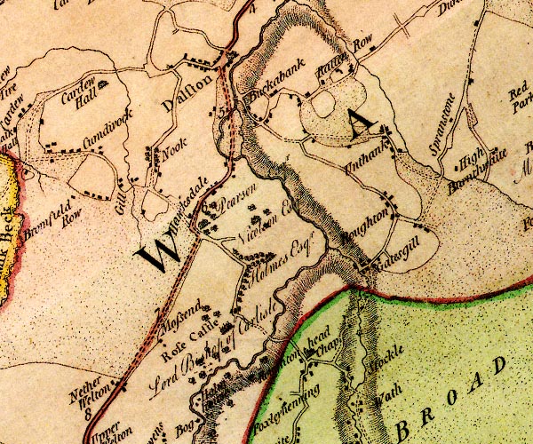
D4NY34NE.jpg
"Gatesgill"
block or blocks, labelled in lowercase; a hamlet or just a house
item:- Carlisle Library : Map 2
Image © Carlisle Library |
|
|
| evidence:- |
old map:- Ford 1839 map
placename:- Gatesgill
|
| source data:- |
Map, uncoloured engraving, Map of the Lake District of
Cumberland, Westmoreland and Lancashire, scale about 3.5 miles
to 1 inch, published by Charles Thurnam, Carlisle, and by R
Groombridge, 5 Paternoster Row, London, 3rd edn 1843.
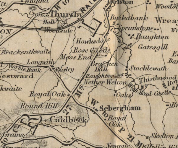
FD02NY34.jpg
"Gatesgill"
item:- JandMN : 100.1
Image © see bottom of page
|
|
|
| evidence:- |
old map:- Post Office 1850s-1900s
placename:- Gaitsgill
|
| source data:- |
Post road maps, General Post Office Circulation Map for England
and Wales, for the General Post Office, London, 1850s-1900s.
 click to enlarge click to enlarge
POF7Cm.jpg
"Gaitsgill"
map date 1909
|
|
|
:-
|
images courtesy of the British Postal Museum and Hampshire CC Museums
|
|
|
| places:- |
 |
NY387467 Bridge House (Dalston) |
|
|
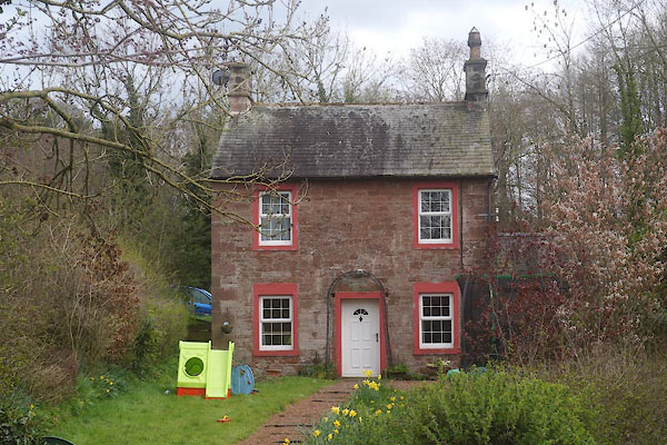 |
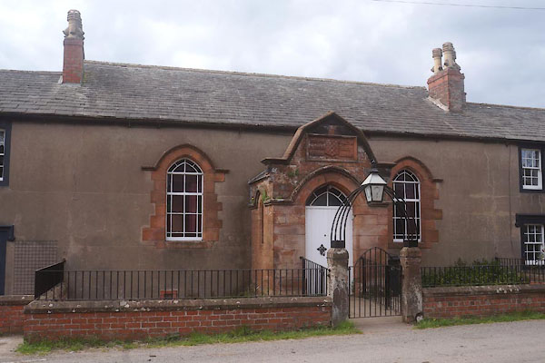
NY38974680 Chapel House (Dalston) L |
|
|
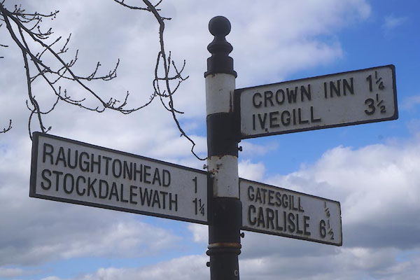 |
NY38904657 fingerpost, Gaitsgill (Dalston) |
|
|
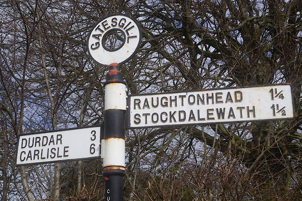 |
NY38824676 fingerpost, Gaitsgill (2) (Dalston) |
|
|
|
NY38624651 Flat Bank (Dalston) |
|
|
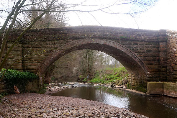 |
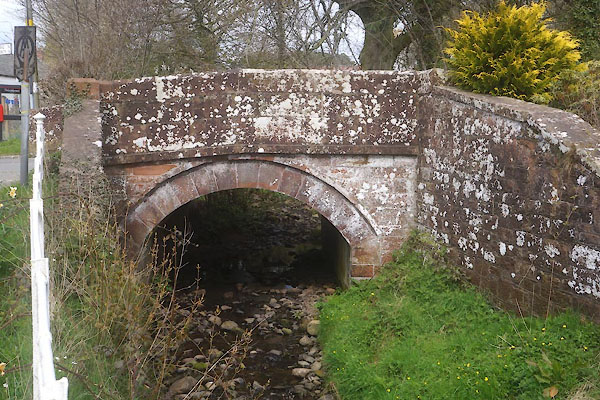
NY38774656 Gaitsgill Bridge (Dalston) |
|
|
|
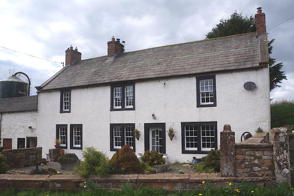
NY38684664 Gaitsgill Farm (Dalston) |
|
|
 |
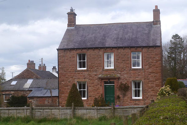
NY38854683 Gaitsgill Hall (Dalston) L |
|
|
 |
NY38794665 house, Gaitsgill (Dalston) |
|
|
 |
NY38824674 Penbeck Bridge (Dalston) |
|
|
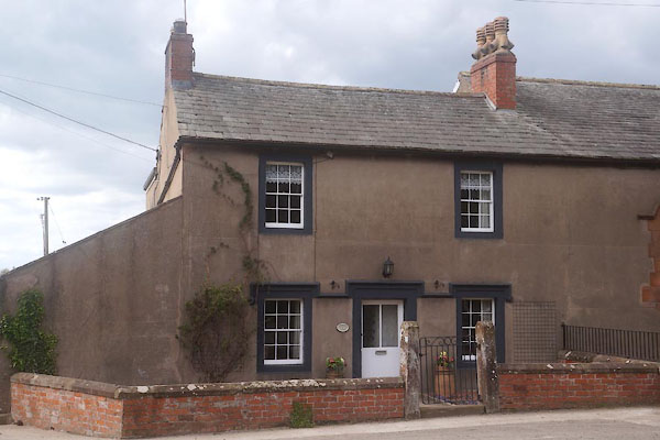 |
NY38804677 Primrose Cottage (Dalston) L |
|
|
 |
NY38814678 Primrose Hall (Dalston) L |
|
|
 |
NY38814671 Royal Oak House (Dalston) L |
|
|
|
NY3846 St Jude's Church (Dalston) gone |
|
|
|
NY38924689 Thornthwaite Close (Dalston) |
|
|
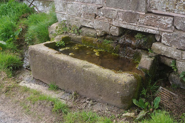 |
NY38864683 water trough, Gaitsgill (Dalston) |
|
|
|
NY38794675 pinfold, Gaitsgill (Dalston) |
|
