 Old Cumbria Gazetteer
 |
 |
|
| Furness Abbey Tunnel, Barrow-in-Furness | ||
| Furness Abbey Tunnel | ||
| site name:- | Furness Railway | |
| locality:- | Furness Abbey | |
| civil parish:- | Barrow-in-Furness (formerly Lancashire) | |
| county:- | Cumbria | |
| locality type:- | railway tunnel | |
| coordinates:- | SD21907179 | |
| coordinates:- | SD21947174 | |
| 1Km square:- | SD2171 | |
| 10Km square:- | SD27 | |
|
|
||
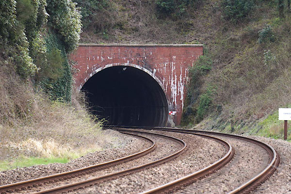 CCW28.jpg North portal. (taken 17.4.2015) 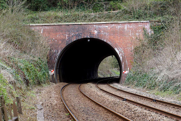 CCW48.jpg South portal. (taken 17.4.2015) |
||
|
|
||
| evidence:- | old map:- OS County Series (Lan 21 4) placename:- South Tunnel |
|
| source data:- | Maps, County Series maps of Great Britain, scales 6 and 25
inches to 1 mile, published by the Ordnance Survey, Southampton,
Hampshire, from about 1863 to 1948.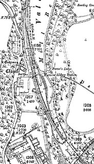 click to enlarge click to enlargeCSRY0138.jpg "S. Tunnel" |
|
|
|
||
 Lakes Guides menu.