 Old Cumbria Gazetteer
 |
 |
|
| Frith Hall, Ulpha | ||
| Frith Hall | ||
| civil parish:- | Ulpha (formerly Cumberland) | |
| county:- | Cumbria | |
| locality type:- | buildings | |
| locality type:- | haunted house | |
| coordinates:- | SD18909163 | |
| 1Km square:- | SD1891 | |
| 10Km square:- | SD19 | |
|
|
||
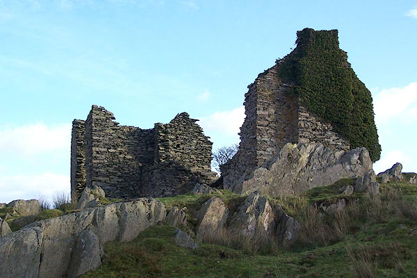 BOI49.jpg (taken 6.11.2007) 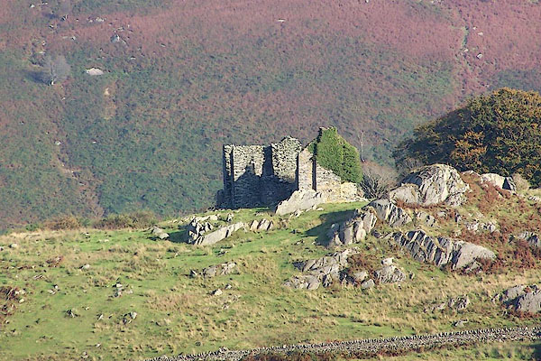 BOF51.jpg (taken 1.10.2007) |
||
|
|
||
| evidence:- | old map:- OS County Series (Cmd 86 3) placename:- Frith Hall |
|
| source data:- | Maps, County Series maps of Great Britain, scales 6 and 25
inches to 1 mile, published by the Ordnance Survey, Southampton,
Hampshire, from about 1863 to 1948. |
|
|
|
||
| evidence:- | old map:- Donald 1774 (Cmd) placename:- Froth Hall |
|
| source data:- | Map, hand coloured engraving, 3x2 sheets, The County of Cumberland, scale about 1
inch to 1 mile, by Thomas Donald, engraved and published by Joseph Hodskinson, 29
Arundel Street, Strand, London, 1774.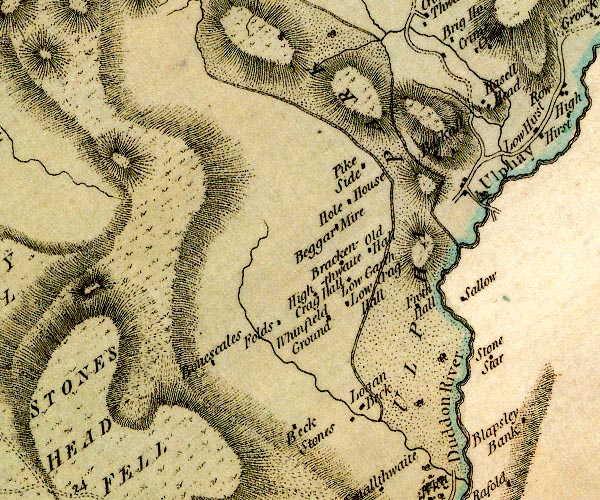 D4SD19SE.jpg "Froth Hall" block or blocks, labelled in lowercase; a hamlet or just a house item:- Carlisle Library : Map 2 Image © Carlisle Library |
|
|
|
||
 BOI50.jpg (taken 6.11.2007) 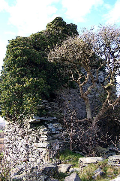 BOI51.jpg (taken 6.11.2007) |
||
|
|
||
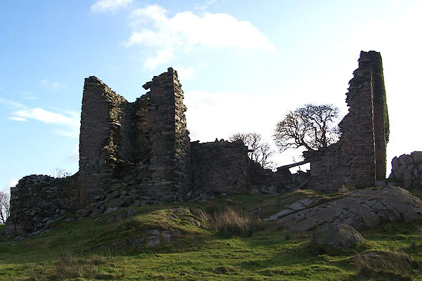
| hearsay:- |
Said to have been a hunting lodge for the Huddleston Fanily, 17th century. It was
later, perhaps, an inn for travellers on the packhorse route. |
|
| Illicit marriages were said to have been performed here. |
||
|
|
||
| hearsay:- |
A tale is told that a man was murdered here when it was an inn, and his ghost haunts
the ruins. |
|
|
|
||
| notes:- |
supposed fortified hunting lodge |
|
| Perriam, D R &Robinson, J: 1998: Medieval Fortified Buildings of Cumbria: CWAAS::
ISBN 1 873124 23 6; plan |
||
|
|
||
 Lakes Guides menu.