 Old Cumbria Gazetteer
 |
 |
|
| forest, Murton | ||
| civil parish:- | Murton (formerly Westmorland) | |
| county:- | Cumbria | |
| locality type:- | wood | |
| locality type:- | forest | |
| 1Km square:- | NY7022 (approx) | |
| 10Km square:- | NY72 | |
| references:- | Saxton 1579 |
|
|
|
||
| evidence:- | old map:- Saxton 1579 |
|
| source data:- | Map, hand coloured engraving, Westmorlandiae et Cumberlandiae Comitatus ie Westmorland
and Cumberland, scale about 5 miles to 1 inch, by Christopher Saxton, London, engraved
by Augustinus Ryther, 1576, published 1579-1645.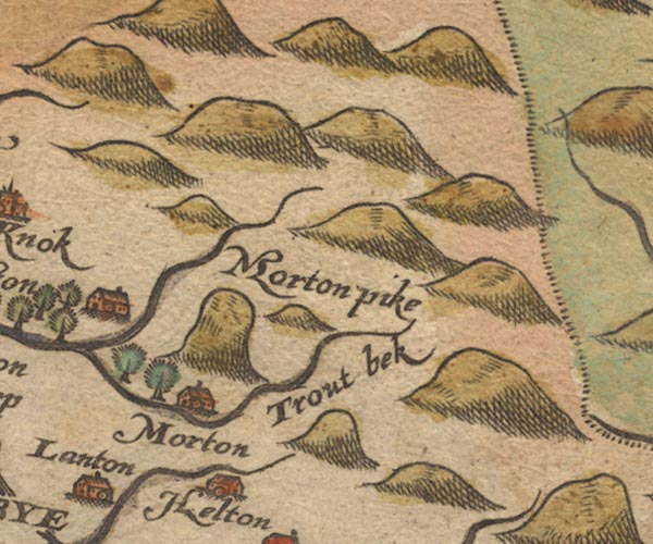 Sax9NY72.jpg By Morton; two trees. item:- private collection : 2 Image © see bottom of page |
|
|
|
||
| evidence:- | old map:- Jansson 1646 |
|
| source data:- | Map, hand coloured engraving, Cumbria and Westmoria, ie
Cumberland and Westmorland, scale about 3.5 miles to 1 inch, by
John Jansson, Amsterdam, Netherlands, 1646.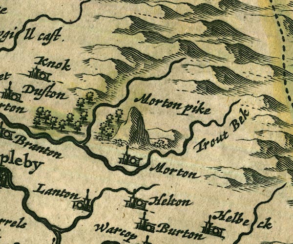 JAN3NY72.jpg Group of trees. item:- JandMN : 88 Image © see bottom of page |
|
|
|
||
| remnant (?):- |  Flakebridge Wood, Murton Burthwaite Wood, Murton Flakebridge Wood, Murton Burthwaite Wood, Murton |
|
|
|
||
Lakes Guides menu.