 Old Cumbria Gazetteer
 |
 |
|
| ford, King's Meaburn | ||
| site name:- | Lyvennet, River | |
| locality:- | King's Meaburn | |
| civil parish:- | King's Meaburn (formerly Westmorland) | |
| civil parish:- | Newby (formerly Westmorland) | |
| county:- | Cumbria | |
| locality type:- | ford | |
| locality type:- | footbridge | |
| coordinates:- | NY61842108 | |
| 1Km square:- | NY6121 | |
| 10Km square:- | NY62 | |
|
|
||
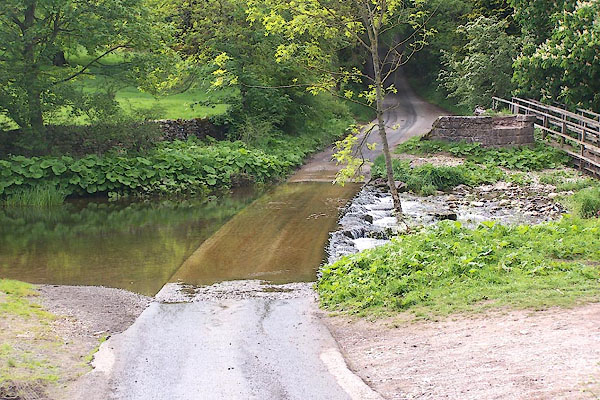
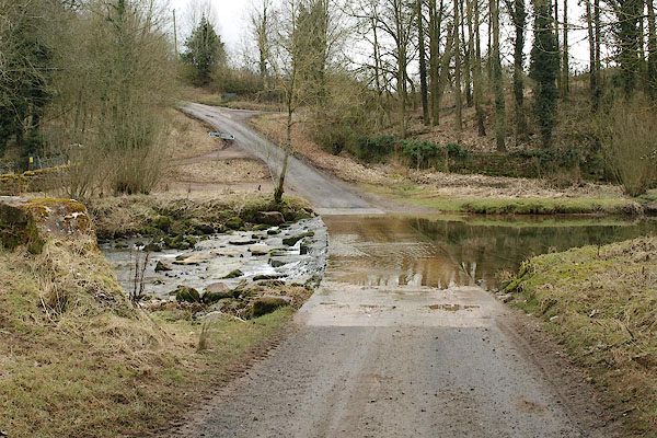 BSH06.jpg (taken 12.3.2010) 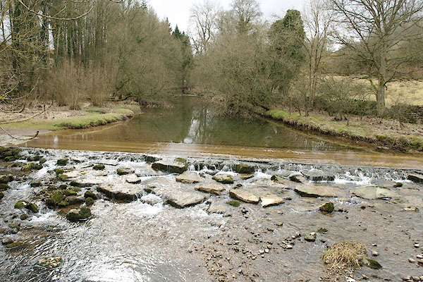 BSH09.jpg (taken 12.3.2010) |
||
|
|
||
| evidence:- | old map:- OS County Series (Wmd 8) |
|
| source data:- | Maps, County Series maps of Great Britain, scales 6 and 25
inches to 1 mile, published by the Ordnance Survey, Southampton,
Hampshire, from about 1863 to 1948. "Ford / S. Stones" |
|
|
|
||
 BSH10.jpg View of river. (taken 12.3.2010) |
||
|
|
||
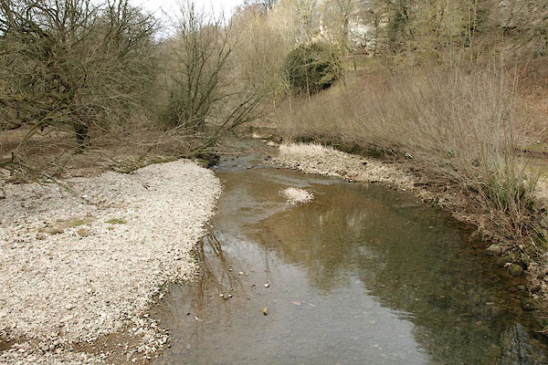
 BME26.jpg (taken 30.5.2006) 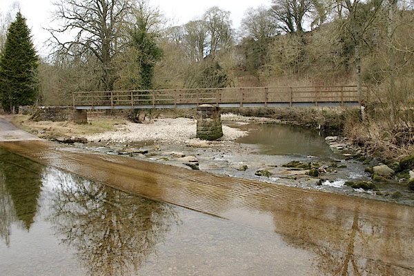 BSH07.jpg (taken 12.3.2010) 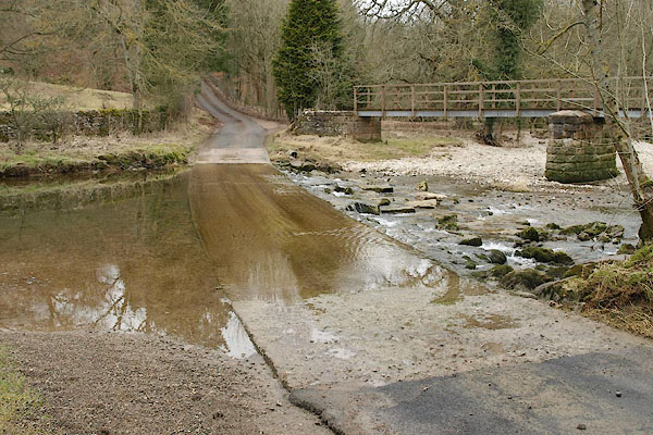 BSH08.jpg (taken 12.3.2010) |
||
|
|
||
 Lakes Guides menu.