 |
 |
|
|
|
|
Force Mills |
| civil parish:- |
Satterthwaite (formerly Lancashire) |
| county:- |
Cumbria |
| locality type:- |
locality |
| locality type:- |
buildings |
| coordinates:- |
SD34029103 (etc) |
| 1Km square:- |
SD3491 |
| 10Km square:- |
SD39 |
|
|
|
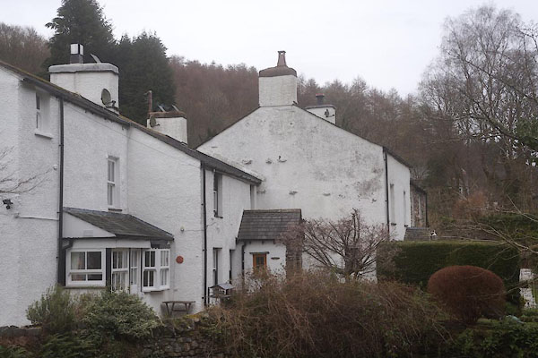
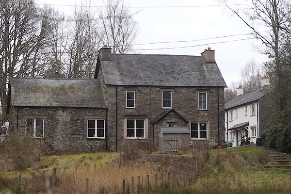
CES39.jpg group of cottages
(taken 11.3.2016)
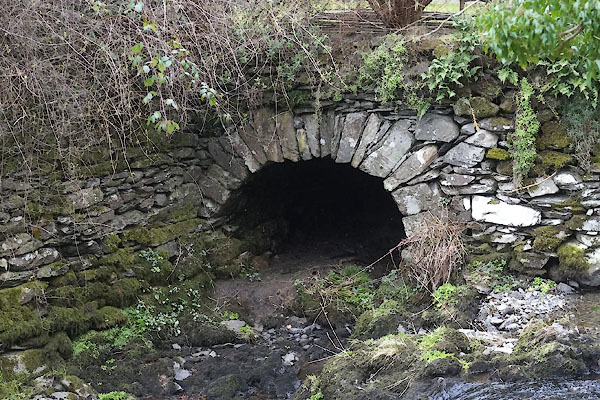
CES40.jpg Mill race?
(taken 11.3.2016)
|
|
|
| evidence:- |
old map:- OS County Series (Lan 8 1)
placename:- Force Mills
|
| source data:- |
Maps, County Series maps of Great Britain, scales 6 and 25
inches to 1 mile, published by the Ordnance Survey, Southampton,
Hampshire, from about 1863 to 1948.
|
|
|
| places:- |
 |
SD33999101 bobbin mill, Force Mills (Satterthwaite) gone? |
|
|
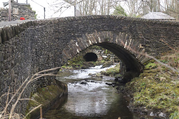 |
SD33919095 Force Mill Bridge (Satterthwaite) |
|
|
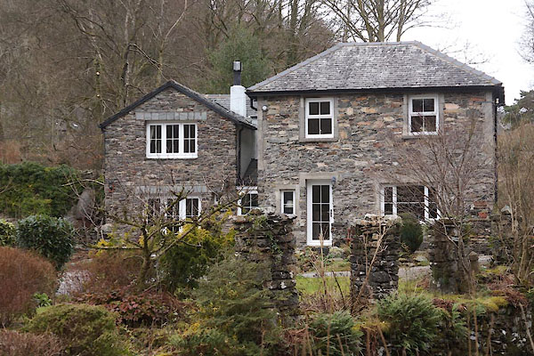 |
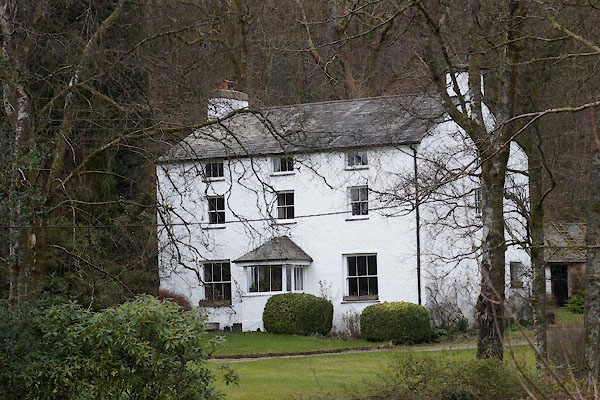
SD34039106 house, Force Mills (Satterthwaite) |
|
|
 |
SD33909132 Old School House (Satterthwaite) |
|
|
 |
SD33969103 White Lodge (Satterthwaite) |
|
