 Old Cumbria Gazetteer
 |
 |
|
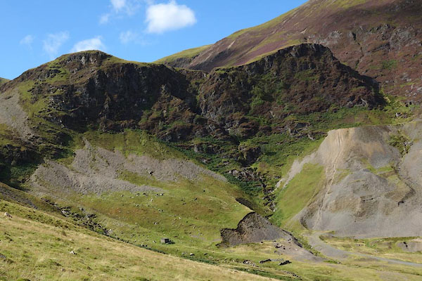
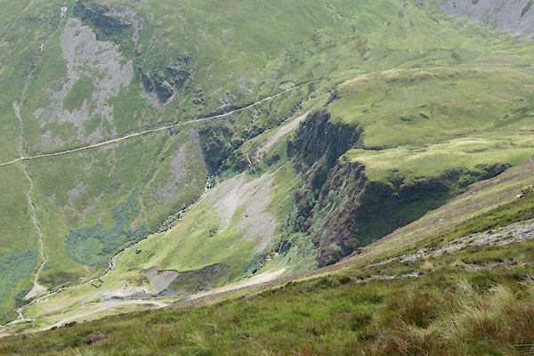
| Force Crag, Above Derwent | ||
| Force Crag | ||
| civil parish:- | Above Derwent (formerly Cumberland) | |
| county:- | Cumbria | |
| locality type:- | rocks | |
| coordinates:- | NY19672150 (etc) | |
| 1Km square:- | NY1921 | |
| 10Km square:- | NY12 | |
|
|
||
 CDZ04.jpg (taken 16.9.2015) 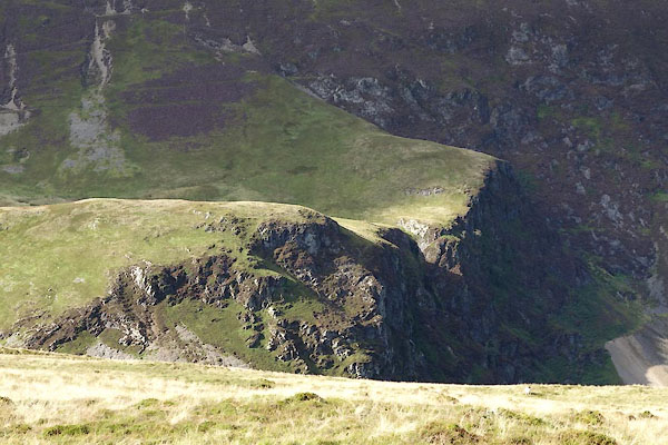 CDZ30.jpg (taken 16.9.2015) |
||
|
|
||
| evidence:- | old map:- OS County Series (Cmd 63 11) placename:- Force Crag |
|
| source data:- | Maps, County Series maps of Great Britain, scales 6 and 25
inches to 1 mile, published by the Ordnance Survey, Southampton,
Hampshire, from about 1863 to 1948. |
|
|
|
||
 CDR98.jpg (taken 17.8.2015) 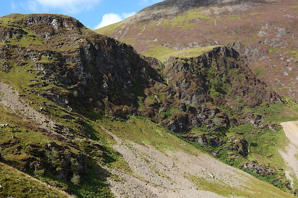 CDZ05.jpg (taken 16.9.2015) 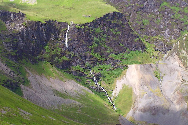 BPJ44.jpg (taken 23.6.2008) 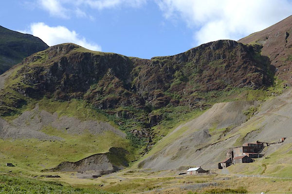 CDY99.jpg (taken 16.9.2015) 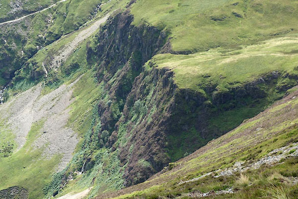 CDR99.jpg (taken 17.8.2015) 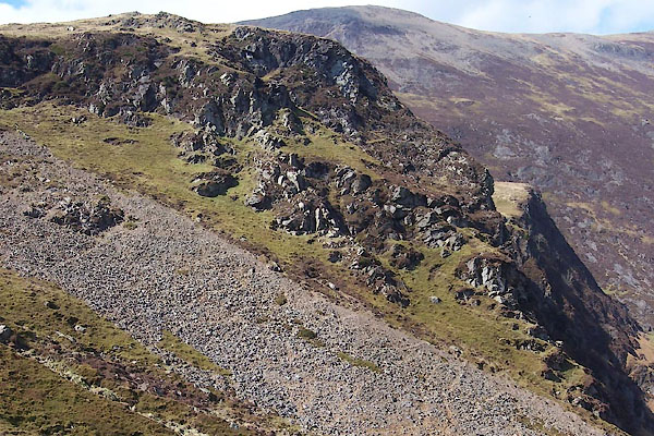 BUH39.jpg (taken 28.3.2011) |
||
|
|
||
 Lakes Guides menu.