 |
 |
   |
|
|
|
Far Arnside |
|
|
| civil parish:- |
Arnside (formerly Westmorland) |
| county:- |
Cumbria |
| locality type:- |
locality |
| locality type:- |
buildings |
| coordinates:- |
SD44937638 (etc) |
| 1Km square:- |
SD4476 |
| 10Km square:- |
SD47 |
|
|
|
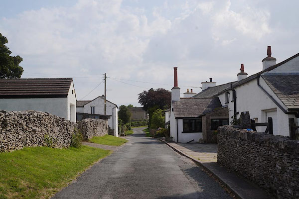
CBJ37.jpg (taken 8.8.2014)
|
|
|
| evidence:- |
old map:- OS County Series (Wmd 46 13)
placename:- Far Arnside
placename:- Arnside, Far
|
| source data:- |
Maps, County Series maps of Great Britain, scales 6 and 25
inches to 1 mile, published by the Ordnance Survey, Southampton,
Hampshire, from about 1863 to 1948.
|
|
|
| places:- |
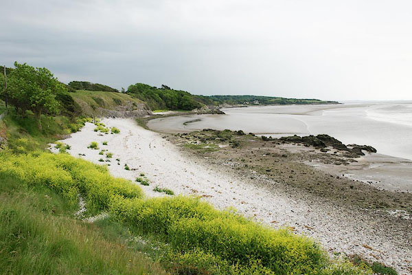 |
SD453759 coast, Arnside (Arnside) |
|
|
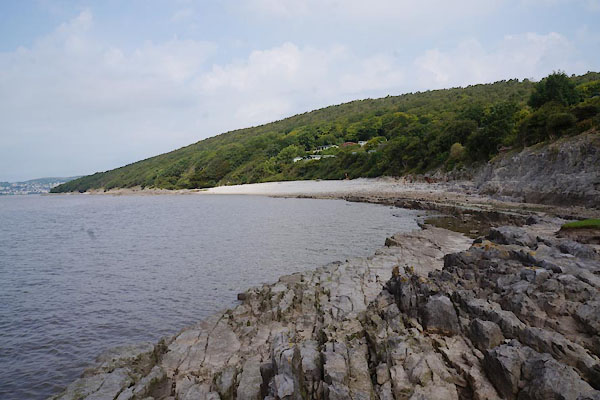 |
SD44627639 coast, Far Arnside (Arnside) |
|
|
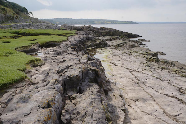 |
SD44707632 Far Arnside Coral Bed (Arnside) |
|
|
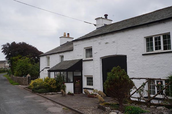 |
SD44937637 Furze Hill (Arnside) |
|
|
 |
SD45127659 Hollins Farm (Arnside) |
|
|
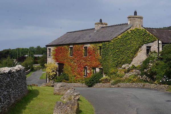 |
SD45097641 Lane House Farm (Arnside) |
|
|
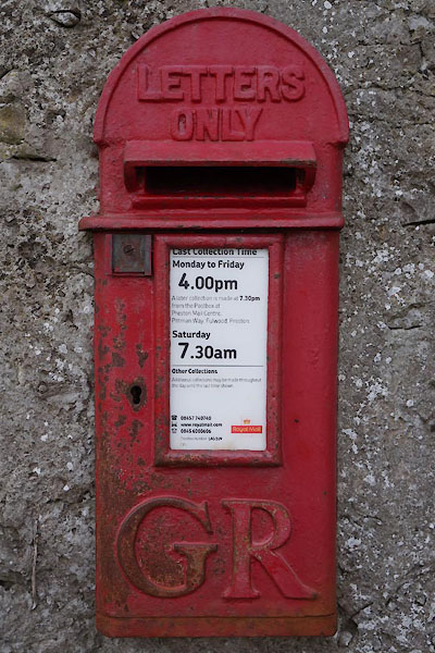 |
SD45227636 post box, Far Arnside (Arnside) |
|
|
 |
SD45217628 Priory Cottage (Arnside) |
|
|
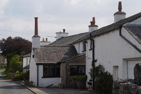 |
SD44927636 Stoney Gap (Arnside) |
|


