 Old Cumbria Gazetteer
 |
 |
|
| Ewebank, Old Hutton and Holmescales | ||
| Ewebank | ||
| civil parish:- | Old Hutton and Holmescales (formerly Westmorland) | |
| county:- | Cumbria | |
| locality type:- | buildings | |
| coordinates:- | SD57079016 | |
| 1Km square:- | SD5790 | |
| 10Km square:- | SD59 | |
|
|
||
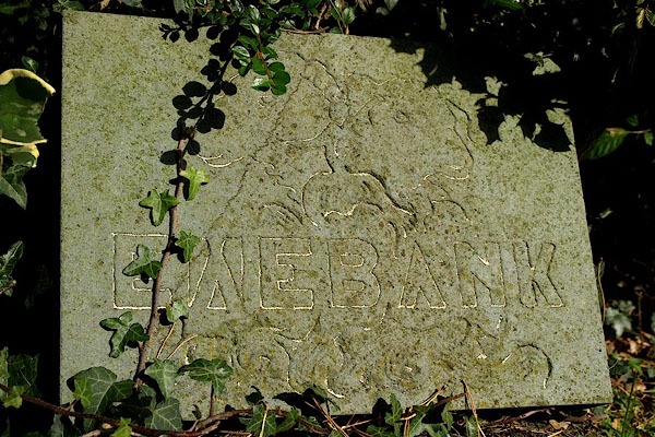 BPR77.jpg House name sign, inscribed slate:- "EWEBANK" (taken 3.10.2008) 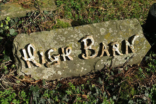 BPR76.jpg House name sign, ?pottery letters on stone:- "HIGH BARN" (taken 3.10.2008) |
||
|
|
||
| evidence:- | old map:- OS County Series (Wmd 39 10) placename:- Ewebank |
|
| source data:- | Maps, County Series maps of Great Britain, scales 6 and 25
inches to 1 mile, published by the Ordnance Survey, Southampton,
Hampshire, from about 1863 to 1948. |
|
|
|
||
| evidence:- | hearth tax returns:- Hearth Tax 1675 placename:- Owe Bank |
|
| source data:- | Records, hearth tax survey returns, Westmorland, 1674/75. "Owe Bank" in "Old Hutton" |
|
|
|
||
 Lakes Guides menu.