 Old Cumbria Gazetteer
 |
 |
|
| Eel Crags, Above Derwent | ||
| Eel Crags | ||
| site name:- | High Spy | |
| civil parish:- | Above Derwent (formerly Cumberland) | |
| county:- | Cumbria | |
| locality type:- | rocks | |
| coordinates:- | NY233165 | |
| 1Km square:- | NY2316 | |
| 10Km square:- | NY21 | |
|
|
||
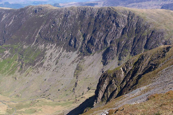 BUM85.jpg (taken 3.5.2011) 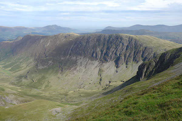 BZG46.jpg and High Spy. (taken 6.9.2013) |
||
|
|
||
| evidence:- | old map:- OS County Series (Cmd 70 5) placename:- Eel Crags |
|
| source data:- | Maps, County Series maps of Great Britain, scales 6 and 25
inches to 1 mile, published by the Ordnance Survey, Southampton,
Hampshire, from about 1863 to 1948. |
|
|
|
||
| evidence:- | outline view:- Jenkinson 1875 placename:- Eel Crags |
|
| source data:- | Print, lithograph, outline view, Panoramic Sketches from Helvellyn, Westmorland, by
Edwin A Pettitt, London, published by Edward Stanford, 55 Charing Cross, London, 1875. click to enlarge click to enlargeJk01E1.jpg "... Eel Crags ..." item:- JandMN : 28.5 Image © see bottom of page |
|
|
|
||
 Lakes Guides menu.