 Old Cumbria Gazetteer
 |
 |
|
| Eden Gate, Warcop | ||
| Eden Gate | ||
| locality:- | Warcop | |
| civil parish:- | Warcop (formerly Westmorland) | |
| county:- | Cumbria | |
| locality type:- | buildings | |
| coordinates:- | NY74371522 | |
| 1Km square:- | NY7415 | |
| 10Km square:- | NY71 | |
|
|
||
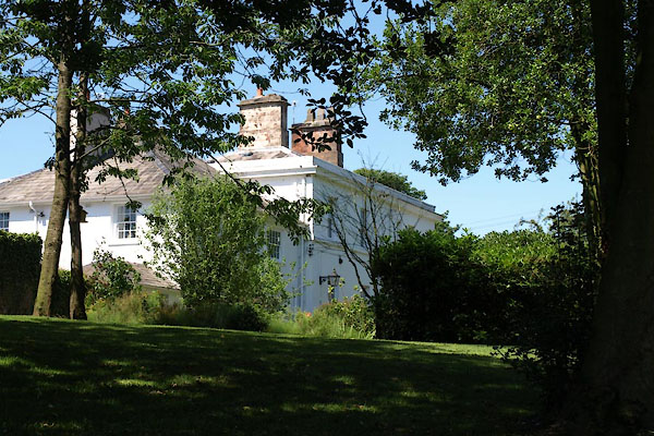 BVA76.jpg (taken 24.7.2011) |
||
|
|
||
| evidence:- | old map:- OS County Series (Wmd 16 13) placename:- Eden Gate |
|
| source data:- | Maps, County Series maps of Great Britain, scales 6 and 25
inches to 1 mile, published by the Ordnance Survey, Southampton,
Hampshire, from about 1863 to 1948. |
|
|
|
||
| evidence:- | database:- Listed Buildings 2010 placename:- Eden Gate |
|
| source data:- | courtesy of English Heritage "EDEN GATE / / / WARCOP / EDEN / CUMBRIA / II / 73411 / NY7437315225" |
|
|
|
||
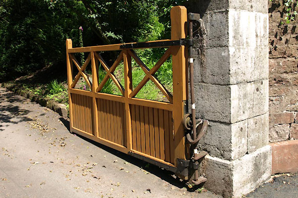 BVA77.jpg Gate, (taken 24.7.2011) 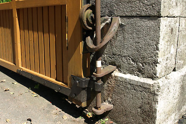 BVA78.jpg Gate, closer arrangement, (taken 24.7.2011) |
||
| The closer also copes with the angle of the drive, lifting the gate to clear the road. |
||
|
|
||
 Lakes Guides menu.