 |
 |
   |
|
|
|
Easton |
| civil parish:- |
Arthuret (formerly Cumberland) |
| county:- |
Cumbria |
| locality type:- |
locality |
| locality type:- |
buildings |
| coordinates:- |
NY43027205 (etc) |
| 1Km square:- |
NY4372 |
| 10Km square:- |
NY47 |
|
|
| evidence:- |
old map:- OS County Series (Cmd 7 9)
placename:- Easton
|
| source data:- |
Maps, County Series maps of Great Britain, scales 6 and 25
inches to 1 mile, published by the Ordnance Survey, Southampton,
Hampshire, from about 1863 to 1948.
|
|
|
| places:- |
 |
NY43297162 chapel, Easton (Arrthuret) gone |
|
|
 |
NY43357164 Chapeltown (Arthuret) |
|
|
 |
NY43297249 Charlestown (Arthuret) |
|
|
 |
NY43697164 Crossings Green (Arthuret) |
|
|
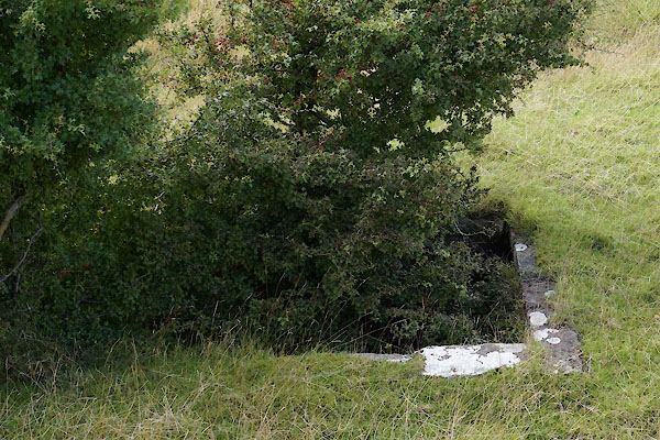 |
NY27555960 culvert, Easton (Bowness) |
|
|
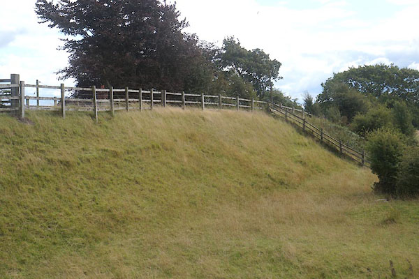 |
NY27575961 Easton Bridge (Bowness) L gone |
|
|
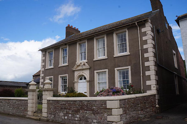 |
NY27675907 Easton Hall, Easton (Bowness) L |
|
|
 |
NY43327229 Easton Hills (Arthuret) |
|
|
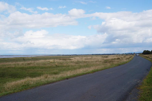 |
NY27615977 Easton Marsh (Bowness) |
|
|
 |
NY43677164 Easton School (Arthuret) |
|
|
 |
NY43057146 Easton Well (Arthuret) |
|
|
 |
NY42647209 Fine View (Arthuret) |
|
|
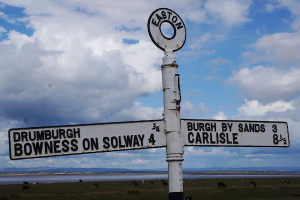 |
NY27575963 fingerpost, Easton (Bowness) |
|
|
 |
NY43267218 Hallees (Arthuret) |
|
|
 |
NY27685912 Marsh House (Bowness) L |
|
|
 |
NY43127184 Midtown (Arthuret) |
|
|
 |
NY42637199 Nether Town (Arthuret) once |
|
|
 |
NY42437208 Pladda (Arthuret) |
|
|
 |
NY27555960 railway culvert, Easton (Bowness) |
|
|
 |
NY27555876 Easton School (Bowness) |
|
|
 |
NY43047241 Todhillrigg Farm (Arthuret) |
|
|
 |
NY42957194 Yad Hill (Arthuret) |
|
|
 |
NY43017213 Yules Croft (Arthuret) |
|
|
 |
NY43107198 Yule's Crofts (Arthuret) |
|


